
Seda Salap Ayca
Thematic Mapping With CARTO
Seda Salap Ayca
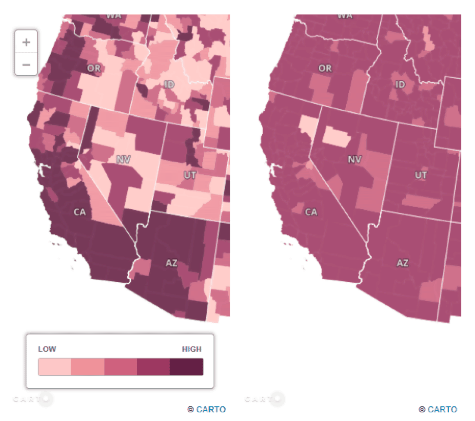
CARTO, which is an open-source software built on PostGIS and PostgreSQL, is an online mapping platform which allows end-users to produce a variety of Web GIS end products, including thematic maps.
Determining Uncertainty in GIS Data
Seda Salap Ayca
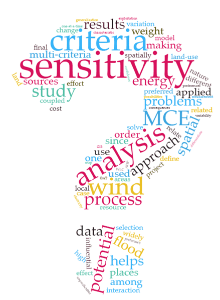
Multi-Criteria Evaluation (MCE) has widely been coupled with GIS to solve the spatial decision-making problems where there are several measures to be compared and screened for decision alternatives.

Working with GIS Data using Python
Seda Salap Ayca
Explore how Python, a scripting and programming language, enhances problem-solving across spatial sciences, from GIS data handling to visualization.