
Alaska’s Coastline is Longer Than All the Other 49 States Combined
Alaska has the longest U.S. coastline, but its length varies depending on how closely the coast and shoreline are measured.

Spatial Analysis
How to Create a Radial Flow Map Using QGIS
Climatology
How Remote Sensing Helps NOAA Monitor El Niño
Environmental Geography
Midpen Open Space and the Harm of Repeat Disturbance

Biogeography
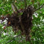
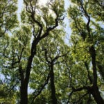
What are Those Clumps in Trees?
Biogeography
Crown Shyness: When Trees Need Personal Space
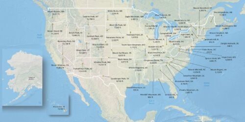
Highest Point in Every U.S. State
Every U.S. state’s highest point, from Denali to Britton Hill, with elevations, maps, and geographic facts.
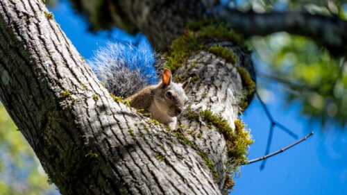
Why Do Squirrels Lie Flat?
Splooting helps squirrels lie flat to regulate body temperature, avoid predators, sunbathe, and rest. Explore the science behind this behavior.
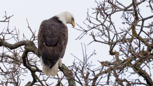
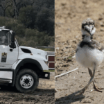
Greatest Concentration of Breeding Bald Eagles in the Contiguous United States
The San Juan Islands support one of the highest densities of breeding bald eagles in the contiguous United States. Here’s why.
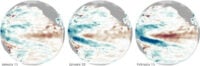
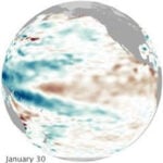
How Remote Sensing Helps NOAA Monitor El Niño
Learn how satellites measure ocean temperatures, sea surface height, and other indicators used to monitor El Niño.
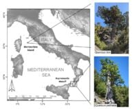
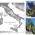
Tracing Medieval Rewilding Through Italy’s Ancient Oaks
A study of ancient oak trees reveals how changes in human land use allowed forests to expand across parts of Italy during the medieval period.
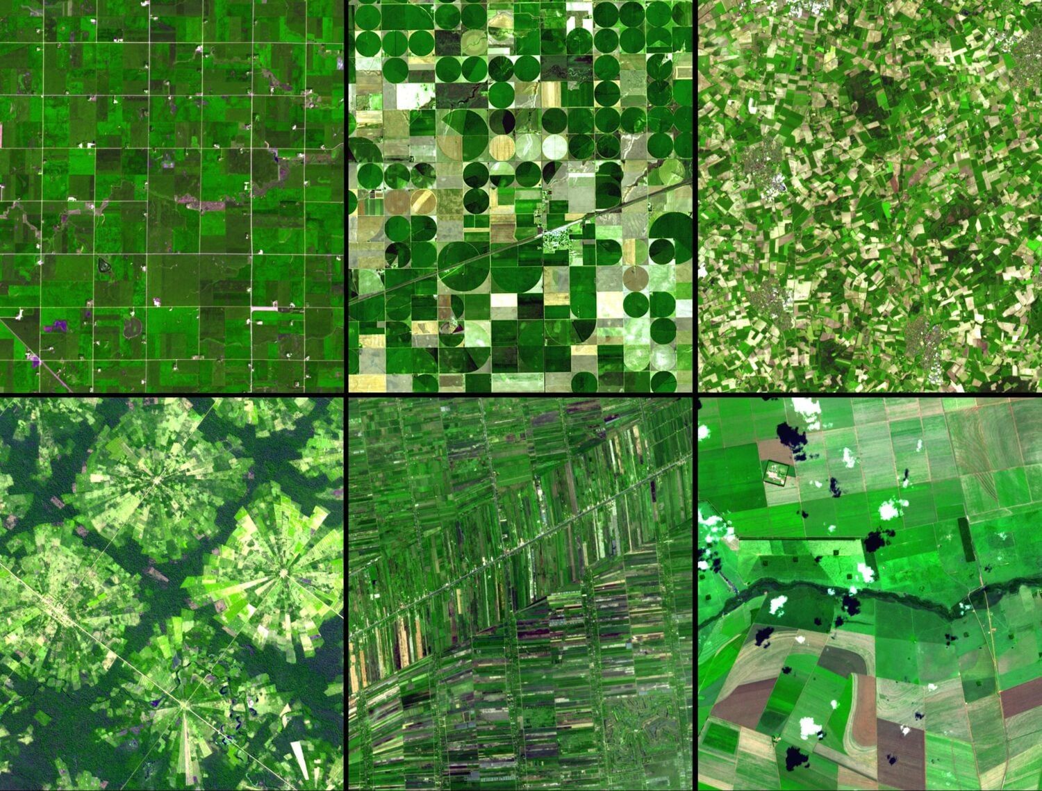
Agricultural Patterns Visible from Space
Satellite images reveal distinctive agricultural patterns shaped by history, geography, irrigation, and farming practices around the world.
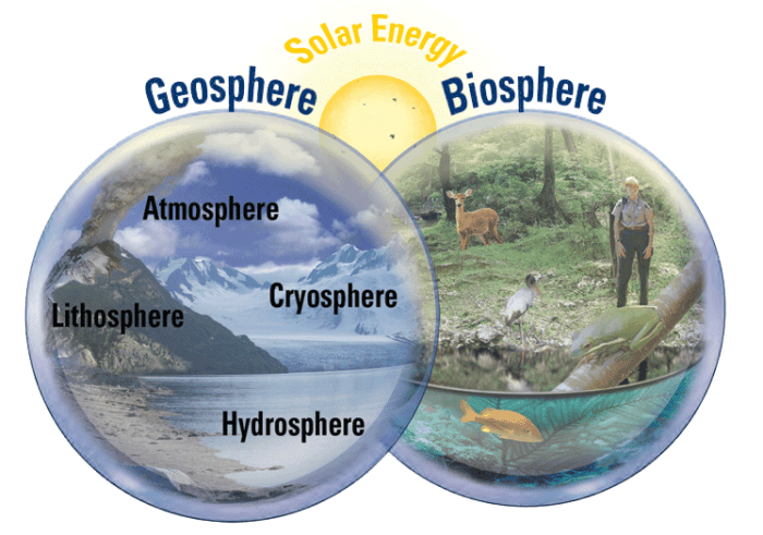
What are the Earth System’s Four Spheres?
The systems of the earth can be divided into two main areas: geosphere and biosphere.