
There are a few definitions of north.
True north is also known as geographic north. True north is the direction along the surface of the Earth that ends in the location of the North Pole.
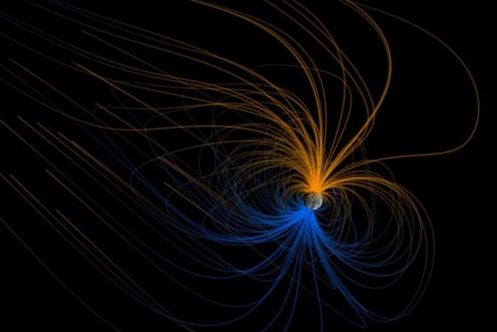
Magnetic north is the location where the Earth’s magnetic field points vertically downward. The direction of magnetic north changes with time and with location on Earth’s surface.
Grid north (GN) is the direction of a plane grid system, usually the grid associated with the map projection.
Maps published by the USGS will contain a north arrow that shows all three norths.
Shifting Magnetic North
James Ross located the pole for the first time on June 1, 1831 at Cape Adelaide on the Boothia Peninsula in Nunavut’s northern Canadian Arctic.
It wasn’t until 1904 that magnetic north was located again by Roald Amundsen who discovered it had moved 50 kilometers since James Ross located it.
The pole was located for the third time near Allen Lake on Prince of Wales Island in 1947 by Canadian government scientists Paul Serson and Jack Clark of the Dominion Astrophysical Observatory.
Magnetic north continues to shift. During the 20th century, magnetic north shifted north an average of 10 kilometers per year. More recently, magnetic north has been shifting about 40 kilometers per year.

What is Declination?
When you use a compass it does not always point to geographic north at all points on the Earth’s surface. The angle formed by the compass’s deviation from true north is known as “declination” (or “magnetic declination”).
What causes declination? Declination stems from the the geomagnetic field’s complexity.
The National Oceanic and Atmospheric Administration (NOAA) offers an online calculator for calculating the declination at any longitude/latitude on a specified date.
References
Earth’s Inconstant Magnetic Field. (2003, 29). Science Mission Directorate | Science. https://science.nasa.gov/science-news/science-at-nasa/2003/29dec_magneticfield/