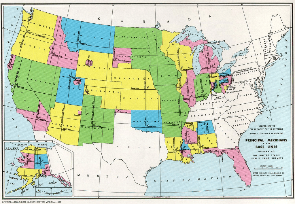
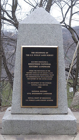
Have you ever wondered why on legal documents your house is not listed with your address but rather by parcel location? If you have ever seen something akin to the southwest corner of the northeast corner of the northwest corner of Section 21, Township 4, that coordinate system is the Public Land Survey System (PLSS). Those GIS users that work with cadastral data will often run across the Public Land Survey System.
Originally established in 1785 by the Land Ordinance, after the revolutionary war, and further refined in 1851 by the General Land Office (now, the Bureau of Land Management), the Public Land Survey System (PLSS) is still the primary legal definition of most property in the United States. The PLSS is used in each state, except for the original thirteen states and a few states in the southwest that were originally surveyed based on Spanish land grant boundaries (notably Texas), and is based on a surveyed prime meridian that runs north south and a baseline that runs east west. There are 37 principal meridians and each is associated with a baseline.

The PLSS was originally proposed by Thomas Jefferson for the purpose of delineating farming and ranching properties. A section of land is the smallest formally described area and measures one square mile in size. A total of 36 sections make up a Township and each Township measures 6×6 miles in size. The Township, and the associated Range, is measured in its distance from the local meridian and baseline.

Surveyors were sent out by the United States Geological Survey (USGS) to place brass markers on the ground at the corners of each PLSS section. Although a brass cap was the ideal for each section corner, in many areas of the country a stone cairn was also used as a marker. This method of placing a physical marker correlates the conceptional map with an on-the-ground marker. Unfortunately, not every brass cap section marker was placed exactly in the correct spot—every square mile. Many of the section markers were placed significantly away from their indented point location and this creates a bit of a problem for the modern mapper. The general rule is to follow the on the ground brass marker, regardless of whether it is placed in the “proper” location. As such, calculating the subsection can be rather difficult as it does not follow the normal section dividing lines and must follow the irregular division lines of a rhombus or trapezoid.

The Homestead Act of 1862 greatly popularized the PLSS mapping system. The law enabled settlers to occupy a minimum of 160 acres of land (1/4 of a Section) for the purpose of ranching or farming. Many homesteaders, especially those in the western United States commonly homesteaded a full section of land, 640 acres. Many of these homesteads have been inherited through generations and, at least in the western United States, are some of the few private holdings of land.
Although this system seemed to work rather well in the 1800s, there are some difficulties with the PLSS system. As mentioned earlier, irregular shapes of sections make for much more complicated calculations for legal descriptions. Even more frustrating, not all areas of the United States were fully mapped with sections within a township. Many desert areas and areas of rugged terrain – those seen as undesirable – never had sections assigned and they still remain unplatted. In these cases, the legal description is literally “unplatted” within the specific Township and Range. This legal description is not very precise as it places the area in question somewhere within a 36 square mile area.
In the world of GPS and GIS technology, very few people understand how PLSS location is calculated and those who do are often frustrated with the lack of precision. So, the question remains. Why do we still use PLSS when there are so many more easier and precise mapping techniques? The short answer is that we have been using PLSS for so long that it would be too difficult to change it now. Roads and property lines have been aligned to sections of land, federal and state land administrations are subject to the boundaries of PLSS, and private landowner records are tied to the system. In fact the Bureau of Land Management (BLM) is now the curator of PLSS data and is actively investing in mapping unplatted areas (mostly in Alaska) as well as ensuring that the GIS data of the PLSS complies with the Federal Geographic Data Committee (FGDC) guidelines. So, it seems that the PLSS as a coordinate system is here to stay.
Related Resources:
