
SBL

Automatic Acquisition of 3D City Models
This concept paper on the automatic acquisition of 3D city models was written by Venugopalan Nair who is the Senior Manager of Geo Spatial Services at SBL.

Using Remote Sensing to Count Trees
Tree count management using remote sensing techniques is important for sustaining conservational stability and ecological biodiversity.

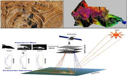
Five Applications of Satellite Data
To illustrate the benefits, here are five uses of satellite imagery and data.

Extracting 3D GIS Data
This piece by Anil Narendran Pillai, Vice President of Geomatics at SBL, takes a look at 3D GIS data creation using feature extraction methods.

Processing UAV Imagery and its Applications
This article highlights the steps for processing Unmanned Aerial Vehicles (UAV) imagery and GIS data acquisition and discusses areas of applications.
A Brief Introduction to Photogrammetry and Remote Sensing
The following is a brief introduction to photogrammetry and remote sensing for those who are new with the technology, written by Anil Narendran Pillai, Vice President – Geomatics at SBL.

BIM – Information and Management
Building information modeling (BIM) is a managed approach to the collection, creation, collation and exchange of shared intelligent and structured ...

LiDAR and Rail Utility Mapping and Digital Asset Preparation
Venugopalan Nair, Senior Manager, SBL, discussed why LiDAR is an efficient and quick technology for mapping rail utilities.