
Urban Geography
The study of cities and urban processes is the basis of urban geography, a subdiscipline of geography.

Using GIS to Design Child-Friendly Cities
Using GIS, cities can design child-friendly pedestrian pathways that prioritize children's interests and safety, promoting urban living and sustainability.

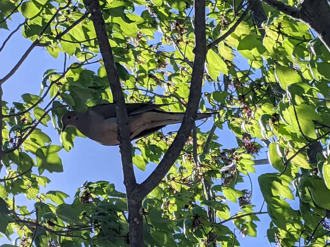
Urban Tree Canopy Affects How Heat Stress Impacts Residents
Minority and low-income neighborhoods have 11% fewer trees, are 1.5°C hotter, and have 14% more impervious surfaces than wealthier, whiter areas.
The Gray-Green Urban Divide: How Wealth and Poverty are Visible from Space
Known as the "gray-green divide”, the amount of trees and green space can be an indicator of the income level of the neighborhood.

Lost Underground Rivers
Cities like London and New York City have a long history of paving over rivers.

What are Desire Paths?
Desire paths (also known as social trails) form when people or animals consistently take direct routes instead of using designated paths.

Only Two Towns in the World Have an Exclamation in Their Name
Only two towns in the world have an exclamation mark as part of their formal names.

Review | Hella Town: Oakland’s History of Development and Disruption
'Hella Town: Oakland’s History of Development and Disruption' by Mitchell Schwarzer is a superb example of urban history.

These Cities are the Most Unaffordable Places to Buy a House in the World
Urban Reform Institute and Frontier Centre for Public Policy evaluated housing markets for 92 metropolitan areas in eight countries to see how affordable they area.

What are 15-Minute Cities?
What if you could get from home to your job to the grocery store to the park, all in 15 minutes?

Review | Dreamers and Schemers
Barry Siegel's "Dreamers and Schemers" features William May Garland who propelled LA's early development into a major metropolis through his ‘irresistible life force’ of salesmanship.

Review | The 99% Invisible City
The 99% Invisible City explains the small mysteries in our everyday urban geography.

Guess the City Based on Street Video
City Guesser is an online geography game that uses audio and visual street video to provide hints about where in the world the city is located.
Defining the Degree of Urbanization
The Degree of Urbanization model classifies urban, semi-urban, and rural areas based on data from open satellite imagery and GIS data.

Nature Emerges as People Shelter-in-Place During the Coronavirus Outbreak
As people shelter-in-place during the coronavirus outbreak, animals come out to roam and skies are clearer in some places.

Urban Farming Increases Food Resources for Local Populations
Researchers from the University of Sheffield mapped out urban spaces that could be used to grow fruits and vegetables in Sheffield, a city in England.

Mumbai Police Fighting Noise Pollution With Enforced Patience
In an effort to lower noise levels, the Mumbai Police have set up noise meters at select traffic signals around the city called "Punishing Signals".

The U.S. is Losing 36 Million Trees Per Year
A study from the US Forest Service has found that, nationally, tree cover is declining at a rate of 175,000 acres per year which is the equivalent of about 36 million trees lost each year.

Urban Beehives Help Reveal Sources Of Pollution In Cities
Researchers have tested honey from six Vancouver neighborhoods from varying districts (urban, industrial, residential and agricultural) for levels of lead, copper, zinc, and other pollutants.

How Redlining Communities Affects Health
New methods have also been created to measure inequality to housing and health so that they can be empirically demonstrated

Review | The Nocturnal City
Robert Shaw's newly published book, The Nocturnal City, is an effort to delve into the city at night which is a “very different time-space from day.”

Defining Urban Sprawl
The urban sprawl concept caused researchers to dive into figuring out what city in the world is the biggest based on the size of its urban sprawl.

Mapping Urban Trees and Income in Manhattan
This article analyzes tree and income data for the New York City borough of Manhattan.

Geography of Microbiomes
Researchers have determined that geography seems to be the most influential factor in determining what kinds of microbial life would be found in a variety of local office settings.
Megacity
A megacity in geography is an urban area that contains more than 10 million residents.

Carless Cities
Cities are seeing growing problems with smog and the resulting health effects, noise pollutions, and motor vehicle related fatalities. A few cities have already put restrictions on the number of automobile in an effort to build a carless city.