
If you’ve ever come across a trodden dirt path through a park, you’ve seen a desire path. Desire paths, in the words of Robert Macfarlane, author of The Lost Words, are “paths & tracks made over time by the wishes & feet of walkers, especially those paths that run contrary to design or planning. Free-will ways.”
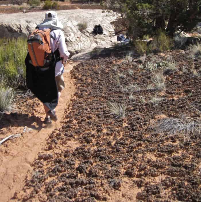
Desire paths, as the name indicates, are informal pathways created by pedestrians, bikers, and animals that carve out routes considered more desirable to travelers.
Oftentimes, these paths are shortcuts or easier routes than the paved routes in place. Desire paths can be seen cutting across fields, through lawns, and around buildings.
The path from Point A to Point B looks very different in the office of a landscape architect or an urban planner than it does on the ground. Despite best intentions, the built environment doesn’t always fit the needs of the people it’s meant to serve.
While we may not be able to knock down our office walls to create an indoor space that works best for us, people have found innovative ways to transform the paths we travel everyday.

What are other names for desire paths?
Desire paths are known by many other names such as desire lines, cow-paths, pig trails, social trails, bootleg trails, and “Olifantenpad” (which means elephant paths).
What makes a desire path?
Animals, when traveling short or long distances, have the uncanny ability to not only navigate to where they want to go, but to do so in the shortest, most efficient way.
The desire paths of human and non-human animals are always shorter than the built environment’s official route. Desire paths are created by creatures who intuit the best way to get where they want to go from where they are right now.
Some researchers call these informal paths ‘social trails;’ a desire path is inherently a method of communicating an efficient way to get from one place to another. It can take as few as 15 trips for a path to form, visually cluing other people into the new route.
This can frustrate urban planners, as these paths often appear as unsightly brown lines in otherwise groomed public spaces.

Desire paths and urban planning
Love them or hate them, desire paths have a lot of information to give urban planners, ecologists, conservationists, and others looking to understand the intersections of human behavior, the natural world, and built environments.
Urban planners may choose to map desire trails to learn more about human movement and behavior throughout their city. These trails can show urban planners not only where, but how people use public spaces.
For instance, people may have created desire paths from a bus stop to a nearby car park through the corner of a green space, or from an established path to the shore of a lake to catch the view and enjoy the wildlife.
Some urban planners utilize this information to create new trails, paving the desire paths that were once informal dirt or gravel footpaths. These planners understand that people have created a path that works for them and work to include this information in their designs.
The Oval at Ohio State
One notable evolution of a series of desire paths is the Oval at Ohio State. This greenspace centered in the middle of the campus and is crisscrossed by a series of uneven pathways.
Prior to 1901, the grassy area was used for livestock grazing between the school’s library and University Hall. As more buildings were built around the oval area, students and faculty began to create pathways across the grass.
Eventually, the pathways became permanent and form the geometric pattern of the grassy space that is now known as “The Oval”.

The impact of desire paths in natural areas
However, paving an existing desire path isn’t always the best idea. Sometimes the network of social trails becomes large and convoluted and, in some areas, fragile habitats and ecosystems could be at risk because of the network of informal trails that people create themselves.
These situations can call for management efforts like barriers (both natural and manmade) and signs. Barricades in the form of natural objects like logs could be placed over a desire path to show that people shouldn’t walk that way.
This is a common method in parks and forests, where people often choose the more efficient route up winding trails, eroding switchbacks and cutting corners in unsustainable ways.

Manmade barriers like fences can also be a desire path deterrent. Signs asking users to keep on the official path or sidewalk can be effective deterrents. Sometimes these interventions work and people stop using that particular desire path.
On other occasions, people may simply create a different desire path to the same location.
Desire paths through the seasons
For municipalities, universities, and other spaces where people are curious about mapping desire paths, snowfall can be a big help. The snow creates a blank slate over these spaces, allowing people to carve out their own intuitive paths where they need to go.
Snow often covers sidewalks, crossings, and other marked pathways, and users can be left to their own devices to create the way forward that works best for them.

In locations where snowfall can’t be used as an obvious indicator of desire paths, urban planners, researchers, and others may utilize aerial photography or satellite data to map these paths. Additionally, ground truthing this information by physically walking and mapping these paths is an effective way to gather data.
Intangible Desire Paths
The idea of a desire path is becoming more commonly utilized in other industries. Rather than being used to refer to a physical trail, a desire path can be understood to mean the difference between how a tool was designed to be used and how people actually use it.
Along the same lines, how employees do their jobs and how management has designed their jobs to be done can also vary widely.
The future of desire paths
Desire paths can be seen as a form of resistance or a path of civil disobedience, however minor. They are a very real, visual indication of people going where they want to go versus where they have been told to go.
This can frustrate urban planners, who often do have very real reasons why they designed a space a specific way; of course, how a space was designed versus how it is used is something that can’t always be anticipated.
For environmental planners, conservationists, ecologists, and others, understanding desire paths and the people that make them can be incredibly useful. Creating user-friendly trails through parks and forests can open up access to these spaces to more people, but has to be done in a way that protects the natural environment.
Urban efforts to expand existing green spaces or re-wild unused areas should take into consideration how people have used and will use these locations in the future.
References
Moor, Robert. Tracing (And Erasing) New York’s Lines of Desire. February 20, 2017. The New Yorker. Retrieved from https://www.newyorker.com/tech/annals-of-technology/tracing-and-erasing-new-yorks-lines-of-desire
Bramley, Ellie Violet. Desire paths: the illicit trails that defy the urban planners. October 5, 2018. The Guardian. Retrieved from https://www.theguardian.com/cities/2018/oct/05/desire-paths-the-illicit-trails-that-defy-the-urban-planners
Kohlstedt, Kurt. Least Resistance: How Desire Paths Can Lead to Better Design. January 25, 2016. 99% Invisible. Retrieved from https://99percentinvisible.org/article/least-resistance-desire-paths-can-lead-better-design/
The Change Designers. The user shows the way: elephant paths in organizational change. Accessed August 16, 2021. Retrieved from https://www.changedesigners.eu/blog/the-user-shows-the-way-elephant-paths-in-organizational-change/
Van Wolputte, S. (2018). Desire Paths. Etnofoor, 30(1), 97-108. https://www.jstor.org/stable/26469016