Hurricane Laura Made This River Flow Backwards Temporarily

Caitlin Dempsey

Major content update:

Minor update:

When Hurricane Laura came onshore near Texas and Louisiana, its winds were so strong that it pushed the waters of the River Neches backwards for about 12 hours.

A streamgauge in Beaumont, Texas captured the river’s flow rate over time as the hurricane pummeled the region.

As Hurricane Laura’s wind pushed the water of the river, the river’s velocity slowed and then reversed course. Water was pushed upstream as the river reversed its flow with an approximate flow rate of 7,600 cubic feet per second.

In this discharge graph of the USGS streamgage on the Neches River at Beaumont, Texas, one can see the river's flow rate fluctuate as Hurricane Laura approaches. When the line passes below 0 into negative numbers, that shows negative velocity, meaning the river has reversed flow. Graph: USGS, public domain.
In this discharge graph of the USGS streamgage on the Neches River at Beaumont, Texas, one can see the river’s flow rate fluctuate as Hurricane Laura approaches. When the line passes below 0 into negative numbers, that shows negative velocity, meaning the river has reversed flow. Graph: USGS, public domain.

More:

East, J. (2020, August 28). Hurricane Laura temporarily reverses Neches river. USGS.gov. https://www.usgs.gov/news/hurricane-laura-temporarily-reverses-neches-river


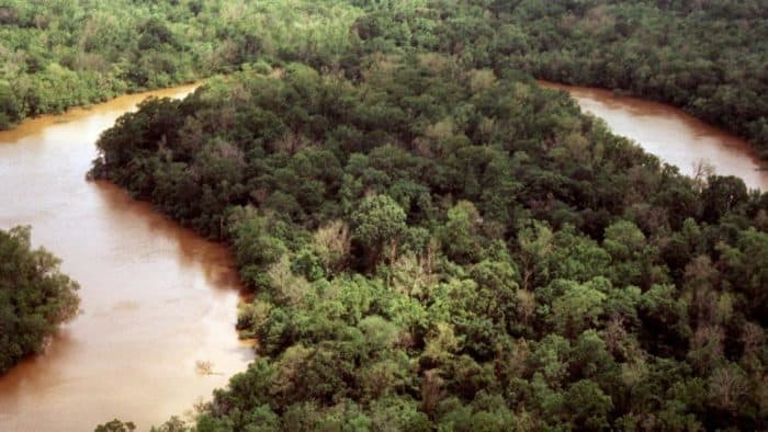
An oxbow of the Neches River in Big Thicket National Preserve just upstream of Beaumont, TX. Photo: National Park Service, public domain.

Related

Photo of author
Caitlin Dempsey

Caitlin Dempsey is a geographer, writer, and founder and editor of Geography Realm. She holds bachelor's and master's degrees in Geography from UCLA and a Master of Library and Information Science (MLIS) from San José State University.

For more than two decades, she has written about geography, maps, geographic information systems (GIS), remote sensing, satellite imagery, and environmental science. Her work focuses on making geography accessible to a broad audience through articles, tutorials, and educational resources.

LinkedIn | Instagram