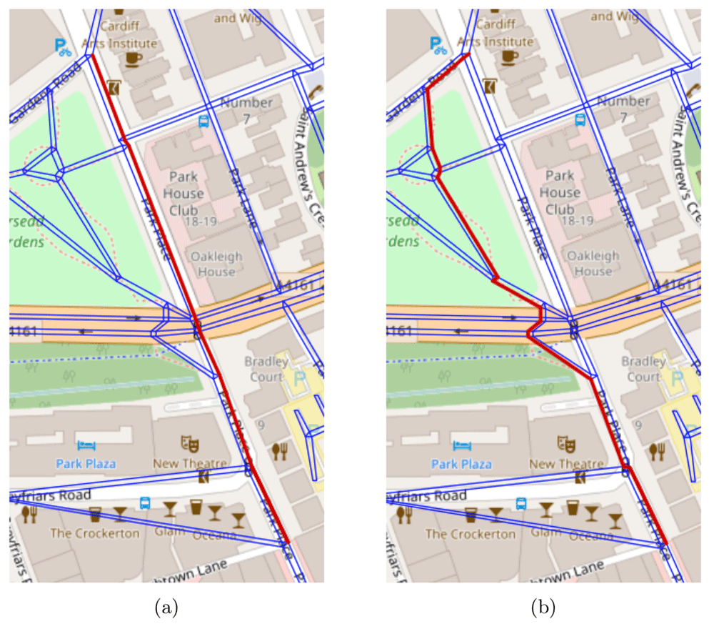
Cardiff University researchers are making headway into an interesting new mobile application – one that will allow pedestrians to find the safest way to a desired location. Other current map applications offered by larger corporations, such as Google Maps, offer destinations by the quickest route, without an ability to discern whether that faster route is safe for a pedestrian. There’s no way to find road details, such as current walking conditions or issues in the navigational layout of an area. One of the authors of this study – Dr. Padraig Corcoran, from Cardiff University’ School of Computer Science and Informatics – stated: “Google Maps is used millions of times a day to get people from A to B, yet it completely overlooks the safety of the routes that it offers to pedestrians.”
The goal for these researchers, a team of computer science and mathematics experts, are creating a comprehensive scoring system, one that can calculate the safety of a geographic location based on algorithms. Users of the app can see this scoring system and find predictions regarding the number of road casualties likely at any given location. These algorithms consider a wide variety of traffic variables – such as crossings, speed limits, and street types.

The Cardiff team hopes to later expand these algorithms, further integrate into the application, and lower the total number of pedestrian fatalities because of traffic accidents. This system has already been tested in the U.K., rating cities by safety – giving scoring Liverpool as an area with the most dangerous roads, with Bath scoring the safest.
Dr. Corcoran says of the future for this application, “We envisage something very similar to Google Maps in which a user can input their destination, and then choose a route that utilizes our algorithm and gives them the safest possible journey instead of the quickest. This could definitely save lives and would go some way to reducing the high levels of causalities both here in the UK and across the world.”
The study
Hannah, C., Spasic, I. and Corcoran, P. 2018. A computational model of pedestrian road safety: the long way round is the safe way home. Accident Analysis & Prevention (10.1016/j.aap.2018.06.004)
More:
