
An intricate, detailed map of the Earth’s topography would come in handy for many different disciplines. From geology to biology, history to marine sciences, glaciology and cartography, having an interactive depiction of what the Earth has looked like in the past would answer a lot of our present questions.
A project called the Earth Archive, founded by Colorado State University Professor Chris Fisher, plans to use Light Detection And Ranging (LiDAR) to map the entire surface of the Earth. Fisher thought up the project as a response to the dramatic climate changes affecting the Earth in the present day and its affect on the changing surface of the Earth. Coastal areas are at risk of sea level rise, and valuable archeological and ecological finds are vulnerable to the effects of climate change as well.
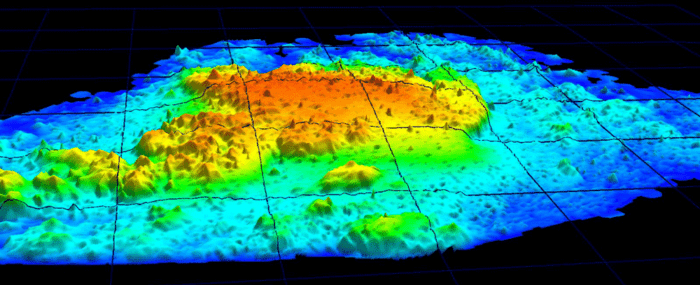
LiDAR Mapping of the Earth
A goal of the Earth Archive project and other similar mapping efforts is to preserve cultural, environmental, and geological treasures that could be lost or damaged by climate change. Having a comprehensive digital map of the Earth’s surface could prove helpful for answering questions about the past as well as generating a tool for future users to see the Earth as it was. For example, LiDAR data has been used to locate lost cities overrun by nature, such as those built by the Aztecs.
The Lidar mapping project aims to start with areas that are most vulnerable to climate change, such as coastlines. The project will also focus on the Amazon rainforest, which is rapidly declining because of logging and fires.

The project is utilizing existing LiDAR data from aerial flights and satellites. Countries like the Netherlands have already begun their own LiDAR mapping projects, which potentially could be used as part of the Earth Archive in the future.
Project Setbacks
Although the goal of mapping Earth seems lofty, Fisher and others stand behind their objective. Using LiDAR to map Earth is financially challenging as well as technically daunting; however, partner organizations are willing to donate money, expertise, and time to make this map a reality.
The goal of the project is to benefit the generations that come after us, in addition to providing substantial data for researchers to analyse in the present day.
Watch Chris Fisher’s Talk: Let’s archive everything on Earth – before it’s too late

Reference
Why the Earth Must Be Mapped. (2019, December 11). Retrieved from https://www.sapiens.org/archaeology/lidar-mapping-earth/