
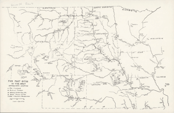
The South Dakota State Historical Society has made over 600 maps available online with the South Dakota Digital Archives. A grant from the Deadwood Historic Preservation Commission enabled the Historical Society to scan and digitize maps from its collection. The maps feature a range of geographic areas around the state such as American Indian reservations, forts, old trails and military expeditions. The scanned collection also includes early county maps, plats of various South Dakota towns as as well as highway, road, and railway maps.
The oldest map is a hand-drawn black and white map from 1826 entitled, “Fur Post Sites in the West” extending from Montana to Missouri.
The maps can be accessed by visiting the South Dakota Digital Archives

