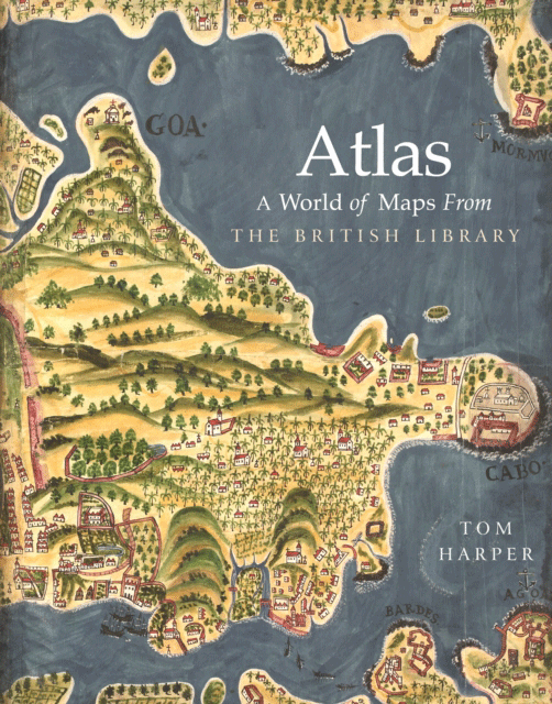
Tom Harper Atlas: A World of Maps from the British Library (London: The British Library, 2018), pp. 272 ISBN: 9780712352918
The great virtue of this book are its full-color illustrations, one or more virtually every page, mostly full-page in size – thus, giving this near coffeetable-sized book more the nature of a gloriously annotated exhibition catalog. Indeed, it is intended as the ‘definitive showcase’ of the national map collection of the British Library, one of the world’s largest with over four million maps dating from 15 B.C. to the present.
The first ‘atlas’ was that of the Flemish cartographer Gerhard Mercator, published posthumously in 1595. Though by that time books of maps had been in existence for centuries, Mercator’s use of the name ‘Atlas’ (from the mythological Titan compelled by Zeus to uphold the world on his shoulders) stuck as the universally used title of a book containing accurate, uniform, up-to-date maps. The normative distinction, in our book, is that here we are shown historical maps, created by different people at different times for different purposes, maps created mostly before the modern era and, thus, illustrative in intent, rather than scientifically accurate. There is little uniformity to be found amongst them, and no one would use them to plan a mundane journey. But, by learning the stories of when and by whom they were created, we are enabled to travel back into their times and concerns and aspirations. While the world changes, maps retain what has been lost. If we want, for instance, to get an idea of what London looked like after the Great Fire of 1661, we turn to the maps of Wencelaus Hollar. We are also shown maps of places which were once believed to exist. Maps of the Island of California. Or of the Great Southern Continent (which lingered on in maps up until the second half of the eighteenth century). Maps were not just scientific diagrams. They were also artistic images designed to represent not just the knowledge of their times but also its tastes and hopes. Hence, this atlas promises us both ‘light-hearted enjoyment and serious historical insight.’

Our journey of discovery, via what can aptly be described as an atlas of time travel, is divided into ten chapters, beginning with The Universe and The World, then five of the six continents (Antarctica is the no-show), Seas and Oceans, Celestial Maps, and ending with Fantasy Worlds. Our guide is Tom Harper, lead curator of antiquarian maps of the British Library. Throughout, his descriptions and commentary are both informative and engaging.
He demonstrates that some maps in the past could even be too artistic (designed intentionally more to appeal to the taste of the artists’ patrons, than to convey cartographic information), so that they have become categorized, in the minds of their viewers, as works of art rather than maps. He also shows us that maps were not just paintings or drawings on paper but also coins or medals, globes, models, and even jigsaws. And, even among conventional geographic maps, Harper shows us that there can be great variety. There is, for instance, the gigantic Klencke Atlas, some forty-one wall maps gathered into a volume over two meters wide when opened, created to be presented to King Charles II upon his restoration to the throne in May 1660 following the English Civil War. Or the World War I relief maps known as ‘Haig Models,’ three-dimensional topographical recreations of the battlefields throughout the British sector, from the North Sea to Lyon, an interlocking set of over one hundred maps. It would seem that, with their headquarters so far behind the front lines, the generals of the British high command needed all the help they could get in visualizing the ground over which their offensives were planned to attack. The one shown in this book is that of the Ypres Salient. It would seem that not even the best designed and executed three-dimensional representation of the battlefield was a guarantee of success.
What is a success is the consummate ability of our guide to demonstrate the wondrous world of the making of maps and the often idiosyncratic goals of those who made them. We are shown that maps are, legitimately, many things to many people. So that, while the map of the Jain universe, the first map properly displayed, illustrating The Universe, spread over a page and then some, certainly does not conform to any sort of mathematical accuracy, it is ‘as accurate a visual representation of [their universe’s] complexities as it is possible to be.’ Or the World map produced by a Genoese chart-maker, Pietro Vesconte, c.1325, which actually constituted a practical guide to launching a crusade to re-take the Holy Land. There is even the rough sketch by Admiral Nelson of the disposition of his battle fleet at Aboukir Bay. English admirals were clearer sighted. Personally satisfying for me was the profusely detailed background story (by whom, when, and for what purpose) Harper provides for a very large-scale map of Ireland of 1599, a framed life-sized copy of which hung on the wall of my office in the American embassy in Dublin, some decades ago. I hope it’s still there.
This is a book one closes reluctantly. Very much the sort of splendid production that one expects from the British Library, at £30 it is more than reasonably priced. Available for pre-order from the British Library (released on October 11, 2018). Available in the United States starting January 1, 2019 (Amazon link).
Disclaimers: A review copy of this book was received from the publisher. This site contains affiliate links to products. When you buy something through our retail links, we earn an affiliate commission. This does not impact our reviews and comparisons.
