
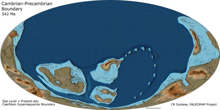
Users can access paleogeographic datasets reconstructing paleotopography and paleobathymetry of the Earth dating back to 540 millions years ago. The series of digital elevation models represent topographic changes in land surface and ocean depth at 5 million year intervals. The work is the result of Christopher Scortese’s PALEOMAP Project (2003–2013).
The paleographic data has been made available in two formats. The series of CSV files contains latitude, longitude, and elevation value for each grid point. In 2017, the text files were converted by Nicky Wrigh into NetCDF format.
Produced with a resolution of 1 x 1 degrees, a future release of PaleoDEMS will include intermediary 0.5 x 0.5 resolution grids. More detail about the creation of PaleoDEMS is outline in the report, PALEOMAP Paleodigital Elevation Models (PaleoDEMS) for the Phanerozoic. The authors note that users are “are welcome to freely use the 1° x 1° paleoDEMS for your own research projects, presentations, and publications.”
To access the data visit:
- PaleoDEM Resource – Scotese and Wright (2018)
The work:
Scotese, C.R., and Wright, N., 2018. PALEOMAP Paleodigital Elevation Models
(PaleoDEMS) for the Phaerozoic PALEOMAP Project, https://www.earthbyte.org/webdav/ftp/Data_Collections/Scotese_Wright_2018_PaleoDEM/Scotese_Wright2018_PALEOMAP_PaleoDEMs.pdf
