
The indigenous Dayaks in Setulang, Indonesia are using drone technology to protect their lands from illegal uses such as logging and clear cutting. The indigenous forest conservation area is locally known as Taneh Ulen and is managed by the Dayaks.
Drones provide a rapid and inexpensive way to map out territories which can then be used to defend against trespassers.
Available satellite imagery and GIS data from the government is usually captured at too low of a resolution for the needs of individual villages such as Setulang. For example, the satellite imagery available from Indonesia’s Ministry of Environment and Forestry has a scale of 1:250,000, making it impossible to see much detail at the scale needed for protecting Taneh Ulen.

With the help of geographer Irendra Radjawali, an Indonesian Ph.D. candidate at the University of Bremen in Germany, the Dayaks were able to used drones to capture hundreds of high resolution aerial images which were then used to map out the Taneh Ulen forest, the homes of the Dayaks, and the damage to the forest caused by illegal activities from a palm oil company.
The mapping effort will help to make sure that this conservation area in Indonesia becomes a part of the “one-map policy” enacted by the government to protect land rights. Community mapping like this project will help ensure that palm oil concessions don’t overlap with indigenous land.
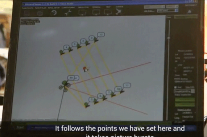
A short documentary entitled, “Indonesia – Dayaks & Drones” takes a look at the Dayaks land rights issue and how geospatial technology is being used to help them protect their land and preserve the local forest conservation area:
More about this project
- Drone for Community Mapping – The Samdhana Institute
- How unmanned aerial vehicles can help indigenous people protect their land – Slate Magazine