
GIS Learning
Resources covering the basics of GIS. Tutorials for learning GIS, geospatial community, and geographic concepts.
Geography Markup Language (GML) 2.0 – Enabling the Geospatial Web
Ron Lake is the President of Galdos Systems Inc., a company that provides advanced software tools to enable the delivery ...
Learning Java – A GIS Perspective
If you examine the GIS industry you will find a great diversity of applications of the technology, from business geographics ...

Notes from the Conference – ESRI’s 21st Annual User Conference
The 21st annual ESRI User Conference is being held this week in San Diego, California with over 11,000 GISers representing 110 countries in attendance.
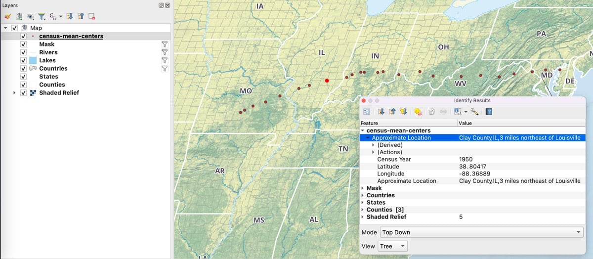
U.S. Census 2000 – Population Trends Mapped
As the numbers are released from the 2000 United States Census, mapping the data helps clarify the nationwide trends in ...
GIS Developments in India – Year 2000 Analysis
The year 2000 was a tremendous time for GIS users in India even though the developments were in a juvenile ...
GIS 2000: A Brief Look Backwards
While anticipating the events of 2001, this article takes a brief look at some of the notable GIS and geospatial events of 2000.

Gateway into Bali
Gateway into Bali is an interactive, guided tour of GIS using this colorful Indonesian island as the backdrop.
Creating Html Pages on the Fly Using Avenue
You can use Avenue to write html code in order to create html pages on the fly. In the Avenue ...
National Map Accuracy Standards (NMAS)
Definition: Standards established in 1941 by the U.S. Bureau of the Budget to set accuracy standards for all federally produced ...
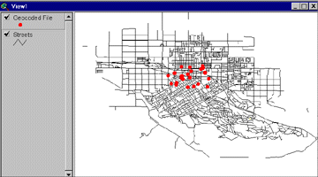
Geocoding Primer
This tutorial explains how to geocode using Esri's ArcView 3.x GIS software.
Fortune 1000 Companies By State for the Year 2000
Listed below are the Fortune 1000 companies listed by state for the year 2000. Each records lists the company name, ...
GIS Day: A Celebration
On November 19, 1999 thousands of businesses, governments and schools participated in GIS Day. Coming on the tail end of ...