
The economy of many developing countries is predominantly based on agriculture. Agriculture, despite technological advances, is always particularly exposed to the uncertainty of climate and weather conditions. Therefore in any areas mapping the territory could be considered a priority connected with food security.
For several years, the FAO (Food and Agriculture Organization) Geospatial Unit of the United Nations has been working to develop a global land cover database based on the FAO (LCCS/ LCML) methodology, to support agricultural policy makers and rural land use planners efforts to reduce poverty.
In this process Afghanistan (where more than 80% of people are agriculture dependent) has been the most recently mapped country. “A similar project has been launched also recently in some Provinces of Pakistan (Punjab, Sindh, KP and Fata) and soon will involve also the territory of Lesotho,” comments John Latham, senior officer of the geospatial unit (DDNS – FAO).
Through the use of advanced data and high technologies provided, through the proliferation of new sensors on band satellites and also the use of GIS modelling, FAO has been able to increase the delivery of timely information on crop production and forecasts. Thanks to Geospatial Technology in fact (tools such as RS+ and related features) it is possible to have information on soil moisture, soil type, crop stage, crop vigor, crop type etc. through the integral use of multi-temporal satellite images, that have been much improved in resolution during last few years. FAO uses such metodologies on a regular basis throughout its field innovative programme.
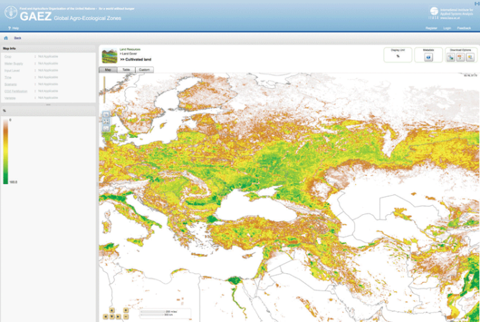
Furthermore in Afghanistan FAO and GIS offered their competent technical support to the creation and managing of a Portal, a dissemination web platform (GAEZ) where crop production statistics can be correlated with agrometereological data. This very important tool aims to provide information useful for decision making by top manage- ment, farmers and stakeholders interested in crop markets, for counteracting the loss of rural resources and the strengthening of agricultural economy.
Learn more:
- GAEZ – Global Agro-Ecological Zones, Food and Agriculture Organization of the United Nations (FAO)
- Land cover atlas of Pakistan [PDF]
- Land cover atlas of Afghanistan [PDF]

About the Author
Lucia Moro, with previous various professional experiences of art direction, graphic design and journalism, currently works for communication in FAO Geospatial Unit, handling its graphical and visual identity for projects, events and workshops.