
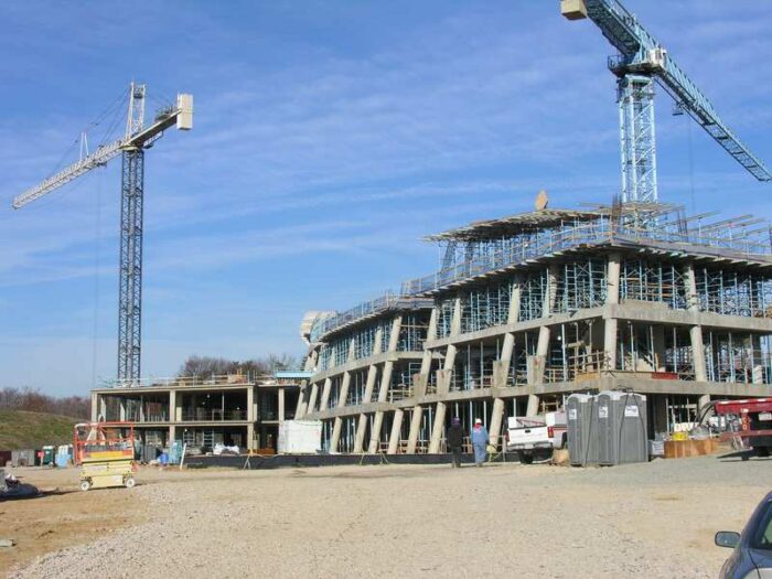
Building safety has renewed as an important topic after the Champlain Towers South collapse in Surfside, Florida. In light of environmental change being experienced and a variety of factors that can affect the integrity of buildings, this has become more important as buildings become susceptible.
Both during the construction phase, and after, building safety can be better modeled and understood using GIS.
Using GIS to Find Safe Building Sites
In a study on choosing building sites and using GIS in hilly areas, it was demonstrated that GIS can be effective for finding safe building sites.[1] In particular, the approach demonstrates that modeling the location and topographical qualities together help to determine how safe a building is in a particular location.
Slope and aspect data were found to help determine which areas are relatively more suitable. The study demonstrated that using GIS can supplement traditional, computer-aided design (CAD) by helping to make better choice regarding building location, identifying better areas of suitability.

In a recent approach, researchers integrated building information modeling (BIM), which combines information about a building’s internal, structural qualities, with GIS that combines soil and subsurface qualities in a building site that can be better for protection of buildings because both foundational and construction quality can be assessed together. For instance, the suitability of specific building materials and concrete can be assessed relative to the soils the building is built on. The outputs include surface and subsurface models that help identify potential weak points or vulnerable areas of a building and building site.[2]
One area of research is modeling more extreme environments, including environmental hazards, to ensure that buildings can be safely built in a given area. In Kuwait, a GIS approach for building safety not only looks at individual sites but entire cities are proposed to be analyzed using GIS tools.

This GIS framework integrates a variety of safety-related but also cultural and other data to help planners make better choices for building sites. In this case, the building framework incorporates digital elevation modeling, geologic mapping, geomorphology, natural hazards, heritage/archaeological sites, military areas, oil fields, and soils to identify areas where building sites could be more suitable.[3]
Spatial Simulations for Building Evacuation Plans
While building site modeling and safety in construction are critical, another important aspect of GIS is its ability to be used for spatial simulations. For instance, GIS, and spatial analysis specifically, can be used with agent-based models (ABMs) to simulate building evacuation plans. Planners have been able to use GIS and ABMs together to identify potential areas where exits may not be sufficient and determine a more safe capacity for buildings, including where new exists could be built.
The Fire Dynamic Simulator is one example where simulation can be used to identify fire growth and spread and evacuation performance based on crowds inside buildings. This can be used as a planning and evaluation tool to help safety experts to determine building exit design and crowd capacity.[4]
In another approach, it was proposed a real-time evacuation model might be more efficient because it could account for obstructions and obstacles that develop during an event such as a fire or disaster at a building site. In this case, a simulation model is developed that dynamically accounts for the building as it is affected during an event so that the best pathway for evacuation can be calculated based on actual events using a weighted Dijkstra algorithm.
The application of such an approach is that building occupants could be given real-time data, perhaps through their phones or other media, as an event is occurring so that they can chose the best pathway to evacuate.[5]
We can see that building site location and safety are not easy topics but rather complex, as a variety of factors can affect safety. Recent research has looked at environmental and geological factors in choosing building sites, while evacuation and better exit planning can help people survive traumatic, emergency events in buildings such as fires. In all these cases, GIS can provide planners with better tools to save more lives and plan better construction.
References
[1] For more on a study using GIS to find building sites in hilly regions, see: Kumar, Satish, and V.K. Bansal. 2016. “A GIS-Based Methodology for Safe Site Selection of a Building in a Hilly Region.” Frontiers of Architectural Research 5 (1): 39–51. https://doi.org/10.1016/j.foar.2016.01.001.
[2] For more on combining building modeling and surface and subsurface methods with GIS, see: Khan, Muhammad Shoaib, Jaemin Park, and Jongwon Seo. 2021. “Geotechnical Property Modeling and Construction Safety Zoning Based on GIS and BIM Integration.” Applied Sciences 11 (9): 4004. https://doi.org/10.3390/app11094004.
[3] For more on site location for building using different inputs in GIS, see: Hassan, Ahmed, Maha Alfaraj, Mahmoud Fayad, and Casey D Allen. 2021. “Optimizing Site Selection of New Cities in the Desert Using Environmental Geomorphology and GIS: A Case Study of Kuwait.” Preprint. EARTH SCIENCES. https://doi.org/10.20944/preprints202103.0574.v1.
[4] For more on fire safety and building design and crowds using ABM modeling, see: Sun, Qi, and Yelda Turkan. 2020. “A BIM-Based Simulation Framework for Fire Safety Management and Investigation of the Critical Factors Affecting Human Evacuation Performance.” Advanced Engineering Informatics 44 (April): 101093. https://doi.org/10.1016/j.aei.2020.101093.
[5] For more on a dynamic evacuation model using GIS and a Dijkstra algorithm, see: Mirahadi, Farid, and Brenda Y. McCabe. 2021. “EvacuSafe: A Real-Time Model for Building Evacuation Based on Dijkstra’s Algorithm.” Journal of Building Engineering 34 (February): 101687. https://doi.org/10.1016/j.jobe.2020.101687.