
Obesity has become a major health problem for advanced and developing economies. Lifestyles affected by modern work, living, and eating habits have begun to affect people at different stages in life, where obesity is now commonly seen at most stages in life.
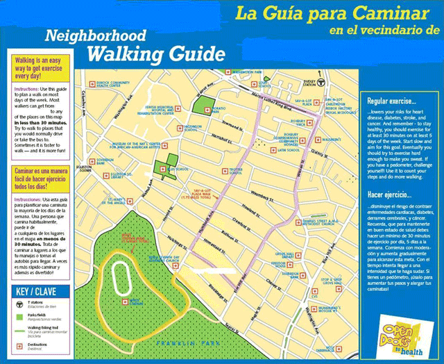
In large part, the structure and way our urban settings have been constructed often influence obesity, where simple activities such as walking have ben discouraged in some areas. GIS has been used to measure the built environment and its relationship to obesity. Issues of connectivity of street plans, walkability, accessibility of shopping and food stores, and activity space for daily routines are all factors that influence how people use their surrounding urban environment.[1] Neighborhoods that are more walkable and have relatively healthy food options within walking distances have been shown to be among the best environments for lower obesity rates.[2] Across US counties, geographic weighted regression has shown strong negative correlations between walk score and street connectivity with obesity and poverty rates. In other words, as obesity and poverty increase, then it is more likely those neighborhoods are likely to be less walkable and less connected to shopping or other relevant services.[3]
Integrating multiple factors of physical activity, such as walkability, and diet determinants in types of food stores available have also been conducted to create a health index. The use of kernel density estimation by indexing and integrating the multiple measures allow them to be combined and used together to measure these combined measures in their relationship to health. Using this approach, it was found that health food stores often closely cluster together, forming neighborhood islands, where also healthy food stores cluster closely to walkable and more frequently cycled areas in Spain.[4] In effect, these studies show that GIS techniques can be useful to demonstrate areas that are likely to have higher obesity rates, while also providing assessment that can be used by policymakers in addressing health needs and improving the build environment.

References
[1] For more on related concepts of the built environment and obesity, see: Thornton, Lukar E, Jamie R Pearce, and Anne M Kavanagh. 2011. “Using Geographic Information Systems (GIS) to Assess the Role of the Built Environment in Influencing Obesity: A Glossary.” International Journal of Behavioral Nutrition and Physical Activity 8 (1): 71. doi:10.1186/1479-5868-8-71.
[2] For more on the relationship between walkability and location of healthy food stores, see: Mujahid, M. S., A. V. D. Roux, M. Shen, D. Gowda, B. Sanchez, S. Shea, D. R. Jacobs, and S. A. Jackson. 2008. “Relation between Neighborhood Environments and Obesity in the Multi-Ethnic Study of Atherosclerosis.” American Journal of Epidemiology 167 (11): 1349–57. doi:10.1093/aje/kwn047.
[3] For more on the relationship between walkability and obesity and poverty, see: Xu, Yanqing, and Lei Wang. 2015. “GIS-Based Analysis of Obesity and the Built Environment in the US.” Cartography and Geographic Information Science 42 (1): 9–21. doi:10.1080/15230406.2014.965748.
[4] For more on using kernel density estimates for forming a health index score, see: Cebrecos, Alba, Julia Díez, Pedro Gullón, Usama Bilal, Manuel Franco, and Francisco Escobar. 2016. “Characterizing Physical Activity and Food Urban Environments: A GIS-Based Multicomponent Proposal.” International Journal of Health Geographics 15 (1). doi:10.1186/s12942-016-0065-5.