
The first full satellite constellation of the European Space Agency’s Copernicus programis now complete. After Sentinel-3A, launched in January 2016, its sister-satellite Sentinel-3B was successfully launched from in Plesetsk Cosmodrome, Russiaon on April 25th of this year. It is the 7th Sentinel satellite that is a part of the Copernicus program.
The main mission of the Sentinel-3 satellite pair is to provide quality ocean and land monitoring. Recording oceanography data will be the Sentinel-3B’s primary task. It will measure ocean temperature, color, sea level, sea ice thickness and biological activity. The second task of Sentinel-3B will be land monitoring, and includes recording land management patterns, vegetation changes, and land water levels.
First Images from Sentinel-3B
The very first image by Sentinel-3B was captured on May 7th, 12 days after the satellite was launched into the orbit. The picture shows the day-night transition over theWeddell Sea (Antarctica).

On that same day, the satellite captured swirls of sea ice near Greenlandand a cloud-free view of northern Europe- which is quite a rare achievement.

Data Collection by Sentinel-3B
The main piece of equipment that provides these highly detailed images is the satellite’s ocean and land color instrument, which has 21 distinct bands, a resolution of 300 meters (984 ft) and a swath width of 1270 kilometers (789 miles). The color range captured by the instrument allows monitoring of biological productivity and pollution in the seas, and also the state of land vegetation. That way, the Sentinel-3 constellation will be able to effectively track changes in the Earth’s climate and ocean systems, marine pollution, vegetation health, as well as the distribution of wildfires.
Alain Ratier, Director-General of The European Organisation for the Exploitation of Meteorological Satellites – Eumetsat, said that: “The Sentinel-3 constellation establishes the European backbone of a space-based, global ocean-monitoring system”. In his words, the mission holds special value for “ocean forecasting and the blue economy.”
On the same occasion Josef Aschbacher, the Director of ESA’s Earth Observation Programmes, stated: “With Sentinel-3B, Europe has put the first constellation of Sentinel missions into orbit – this is no small job and has required strong support by all involved. It allows us to get a very detailed picture of our planet on a daily basis and provides crucial information for policy makers.”.
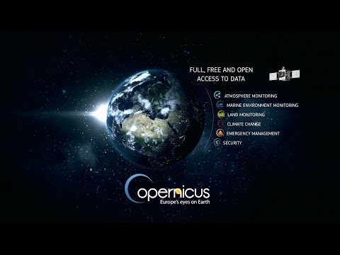
Copernicus program provides means to gather, store and analyze data about the state of Earth’s ecosystems and influences that human population and consumption have on the planet. In line with its purpose, it was previously known as GMES – Global Monitoring for Environment and Security. The program’s overall goal is to increase global quality of environmental monitoring and civil safety. With all the new data made available by Copernicus, policy makers should be able to create better decisions regarding environmental management and be better prepared for natural and man-made disasters.
Accessing GIS Data and Imagery from Sentinel-3B
Images and GIS data from the Copernicus program can be accessed and used worldwide and for free by citizens, researchers, engineers and other interested organizations and groups – including data and GIS professionals. Innovation is an essential aspect of the program, as it supports entrepreneurs and professionals to create tools to efficiently utilize this data, including topographic maps and related products.
Resources:
Copernicus Sentinel-3B delivers first images. 2018-05-09. ESA.
Seventh Sentinel satellite launched for Copernicus. 2018-04-25. ESA.
Copernicus for Geographic Information Professionals. 2016. European Commission (pdf)