USGS

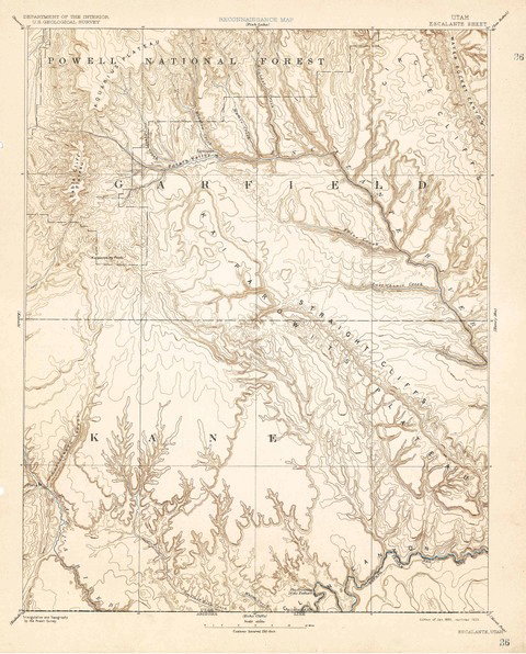
Over 120 Years of Mapping History Online
The USGS Historical Topographic Map Collection currently makes over 98,000 maps dating as far back as 1884 available to the public.

The National Map: Using the National Geospatial Program
The National Map Viewer is a browser-based utility that allows map makers to create and download their own maps based on data layers that they apply to a base map of the United States.
Astronomy – GIS For Other Planets
Not just for landlubbers, the use of GIS technology has applications in astronomy. Browse this list for GIS and mapping ...
New Perspectives on Urban Land Use Change
As Population Grows, So Do Urban Areas New Perspectives on Urban Land Use Change Over 300 million Americans have to live ...
