
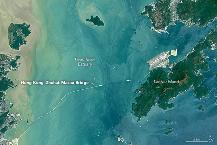
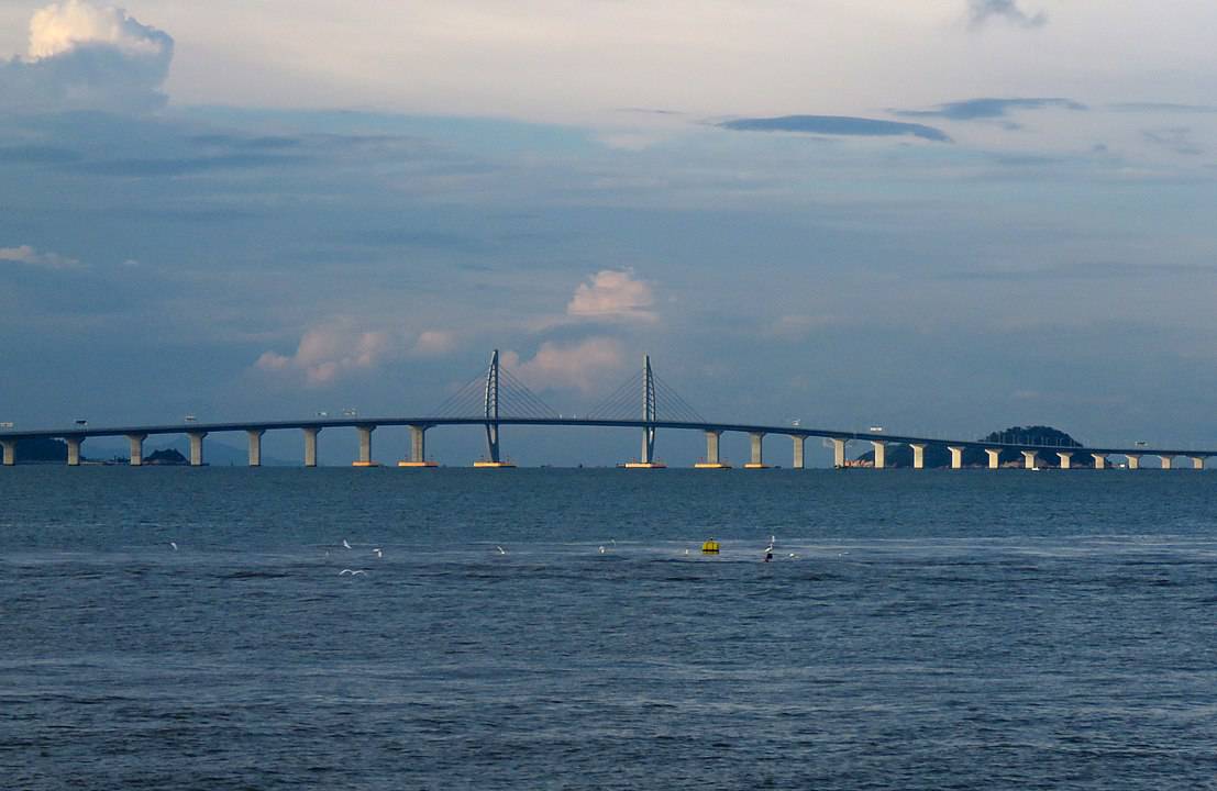
The longest bridge connecting two pieces of land over water recently opened. The bridge/tunnel system, which took nine years to build, connects Hong Kong to Macau and the mainland Chinese city of Zhuhai.
The bridge–tunnel system is 55 kilometers (34 miles) long. Costing over $18 billion USD, the bridge is designed to be typhoon and earthquake proof with an intended lifespan of 120 years.
The bridge was officially opened to traffic on October 24, 2018, after nearly nine years of construction.
This map shows the route of the bridge and tunnel that was build to connect automobile traffic between Hong Kong and mainland China. The dotted section indicates the location of the 6.7 km tunnel section, built underwater to allow ships to cross the Pearl River Delta. Anchored on either side of the tunnel are artificial islands built during the bridge construction.

Left and Right-hand Driving
While both Macau and Hong Kong drive on the left, the bridge is set up for right-hand traffic in compliance with mainland China driving. Drivers entering the bridge from Macau and Hong Kong have to switch from lefthand to right-hand traffic lanes when entering.
Travel Times
The bridge has made it much easier and faster to travel between the cities. The opening of the bridge will cut travel times between Zhuhai and Hong Kong from four hours to 30 minutes.
Cars must be in possession of a permit to access the bridge and pay a toll. A limit of 10,000 permits are available for drivers.
