
Increasingly, aerial vehicles and satellite imagery are used to measure snow depths and coverage across different locations. While previous ways of measuring snow include localised sensors, such as snow depth sensors, remote sensing methods are displacing or complementing these methods in order to enable more widespread coverage and save time and money.
Using Drones to Map Snow
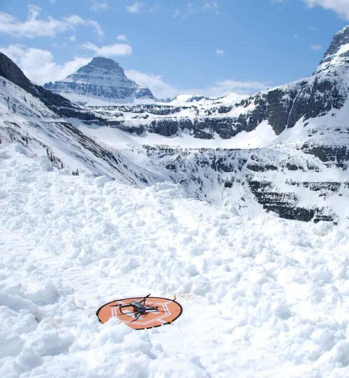
Unmanned aerial systems/vehicles (UAS/UAV) are increasingly used to measure snow pack observations across regions. For instance, multispectral, hyperspectral, microwave, thermal/night imaging, Light Detection and Ranging (LiDAR), and photogrammetric stereos are platforms and some types of imagery that have been used.
In cold regions, Antarctica, Greenland and Norway were the most frequently cover geographic areas using UAVs, followed by Canada, the Himalayas, and the Alps.

The most popular method is to create digital surface models (DSMs) and calculate snow-free DSMs from snow-covered DSMs. This provides information on snow depth and is probably the most common method in studies focused on snow.
Using Drones to Map Snow Distribution
Additionally, UAS/UAV platforms were also used to map snow distribution. In such cases where snow depth is of interest, relative georeferencing between the snow-free and snow covered DSMs is critical, as small shifts in x and y coordinates could potentially create major differences in z (elevation), particularly in steep areas.[1]

In one study using photogrammetry and structure for motion (SfM), average difference between a UAV-estimated and conventional snow probing sensor showed difference ranges between 0.015 to 0.16 m. To alleviate such errors, which particularly can occur in homogenous areas where snow is present, image pre-processing workflows might be needed. This included improving point cloud density and improving image accuracy for different image qualities and snow/light conditions.[2]
Other studies have, nevertheless, demonstrated UAVs may not accurately measure snow depth, particularly below 30 cm snow depth, even if corrections are applied. Factors, including vegetation cover, low sun angles, topographic or cloud shadows, and high wind speeds could affect UAV measurements.[3]
Satellite-based Snow Mapping
While UAS/UAV platforms are becoming among the most commonly used ways in getting remote sensing data for snow, for wide area analysis spanning more than tens or hundreds of kilometers, satellite-based remote sensing is the most commonly used platform for studying snow.

One of the most frequently used long running snow data derived from imagery comes from the MODerate resolution Imaging Spectrometer (MODIS), where a normalized difference snow index (NDSI) has been made available, free of charge, from the National Snow and Ice Data Center.[4] The data also enable estimates of snow cover and albedo effect in different areas.
One research area of interest has been snow cover duration (SCD), where time series satellite data are analyzed and compared to spring runoff data to determine how snow melt and its timing has affected regional water flow. In this case, cloud free snow cover maps were created using MODIS with then SCD calculated from the imagery, with results compared to air temperature and flooding data.[5]
For snow depth using satellite imagery, one of the more commonly used instruments is Sentinel-1. It has been shown that between 0.25° degrees and up to 1 km resolution, Sentinel-1 has a better match to land-based measures such as the SNOTEL network, while at lower resolution imagery was less useful.
SNOTEL is a network that applies 39 snow telemetry sites in Alaska, which has been used to test the accuracy of satellite instruments.
Sentinel-2, the ESA’s newer iteration of Sentinel-1, has a higher spatial and temporal resolution than its predecessor, but there is less than 10 years of data, which prevents long-term evaluation looking at climate change questions.

In addition to the National Snow and Ice Data Center, the European Space Agency (ESA) has also provided monitoring data through their GlobSnow, or Global Snow Monitoring from Climate Research, project, which provides estimates for liquid water in the snow pack using a combination of satellite-based microwave radiometer and ground-based weather station data.
This includes the Special Sensor Microwave Imager (SSM/I) and the Special Sensor Microwave Imager/Sounder (SSMIS) sensor data. Resolutions are still coarse, at about 25 km, which means that such satellite data are mainly useful for large-scale assessment.[6]
For now, the best approaches tend to be those that utilize ground station data to correct and improve estimates from satellite-based platforms.[7]
Researchers are increasingly use UAS/UAV platforms for measuring snow cover data, particularly snow depth. This has benefited researchers mostly interested in regional or sub-regional types of questions. In particular, photogrammetric methods have greatly aided researchers in the field.
However, as most affordable UAS/UAV platforms do not have very long-distance utility, satellite-based remote sensing is preferred for continental or global scale measurements. Data sets from the National Snow and Ice Data Center and GlobSnow have helped efforts; however, researchers have to compromise accuracy at smaller spatial scales.
References
[1] For more on platforms and methods used by UAV/UAS systems for measuring snow, see: Gaffey, Clare, and Anshuman Bhardwaj. 2020. Applications of Unmanned Aerial Vehicles in Cryosphere: Latest Advances and Prospects. Remote Sensing 12 (6): 948. https://doi.org/10.3390/rs12060948.
[2] For more on preprocessing to improve quality of UAV/UAS measurements for snow depth, see: Cimoli, Emiliano, Marco Marcer, Baptiste Vandecrux, Carl E. Bøggild, Guy Williams, and Sebastian B. Simonsen. 2017. ‘Application of Low-Cost UASs and Digital Photogrammetry for High-Resolution Snow Depth Mapping in the Arctic’. Remote Sensing 9 (11): 1144. https://doi.org/10.3390/rs9111144.
[3] For more information on potential accuracy issues measuring snow using UAVs, see: Nolan, M., C. Larsen, and M. Sturm. 2015. ‘Mapping Snow Depth from Manned Aircraft on Landscape Scales at Centimeter Resolution Using Structure-from-Motion Photogrammetry’. The Cryosphere 9 (4): 1445–63. https://doi.org/10.5194/tc-9-1445-2015.
[4] For more on data that records snow cover and albedo, see: https://nsidc.org/data/MOD10A1.
[5] For more on using snow cover duration and spring flooding estimates from satellite-based data, see: Sebastian, Marius S. Witt, Jaakko Ikonen, Ian A. Brown, and Andreas J. Dietz. 2021. Remote Sensing of Snow Cover Variability and Its Influence on the Runoff of Sápmi’s Rivers. Geosciences 11 (3): 130. https://doi.org/10.3390/geosciences11030130.
[6] For more on the ESA effor GlobSnow, see: https://nsidc.org/data/NSIDC-0595.
[7] For more on satellite remote sensing and ground-based data corrections, see: Jeoung, Hwayoung, Shangyong Shi, and Guosheng Liu. 2022. ‘A Novel Approach to Validate Satellite Snowfall Retrievals by Ground-Based Point Measurements’. Remote Sensing 14 (3): 434. https://doi.org/10.3390/rs14030434.