
Jeff Oppong
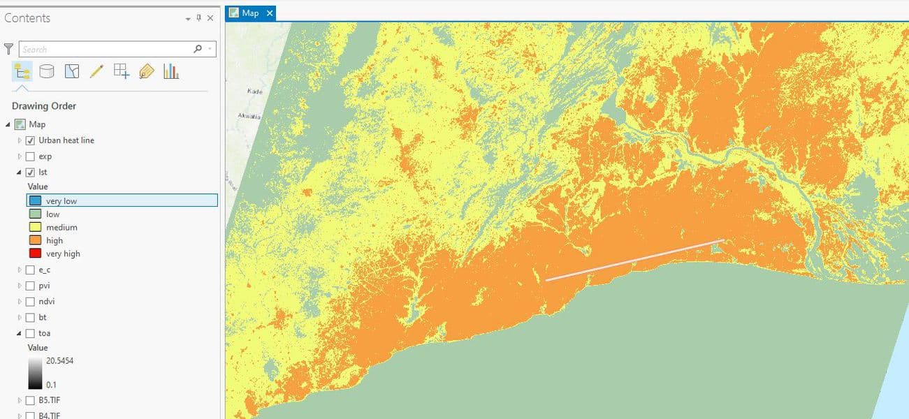
How to Use ArcGIS Pro to Map Urban Heat Islands
Jeff Oppong
This ArcGIS Pro tutorial demonstrates how to assess urban heat in a region.

How to Use ArcGIS Pro to Estimate Areas Prone to Malaria
Jeff Oppong
This tutorial uses Spatial Data Science and Remote Sensing techniques (ArcGIS Pro) to estimate areas that are prone to malaria using ArcGIS Pro.
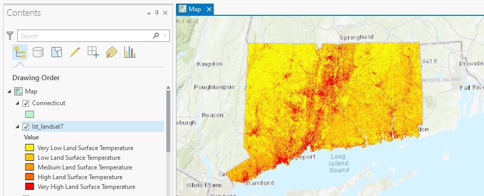
How to Use ArcGIS Pro to Calculate Land Surface Temperature (LST) from Landsat Imagery
Jeff Oppong
This ArcGIS Pro tutorial utilizes spatial data science and remote sensing techniques to calculate land surface temperatures using Landsat imagery.

How to Use ArcGIS Pro to Assess Landslide Susceptibility
Jeff Oppong
This tutorial explains how landslide susceptibility can be assessed using ArcGIS Pro.