

One benefit of geospatial climate models is they allow us to track how current trends in emissions that cause climate change could affect a variety of occurrences that influence our daily lives. One of these is fire activity, where increased aridity, higher temperatures, and higher wind speeds have been linked with types of fire activity in given regions.
Overall, areas that have been burned by fires have likely declined over the last few centuries, thanks to activities such as forest clearing and better methods for fire suppression.[1] However, the statistics are more complex and hide the fact that fires now cover more broad areas and fires occur over longer periods in a given year. In effect, this means fires have become more intense over a given year and larger scale in more recent decades.[2] What emerging trends are showing, using a group of seventeen climate models, is that the length of the fire season and coverage of areas have been increasing in areas such as North America, South America, and Europe. Changes in variables such as wind speed, maximum temperature, and precipitation levels, particularly declining levels in rainfall, are the main reason that have led to the increased intensity and broadness of fires in given areas, even as the overall number of fires has declined.[3]

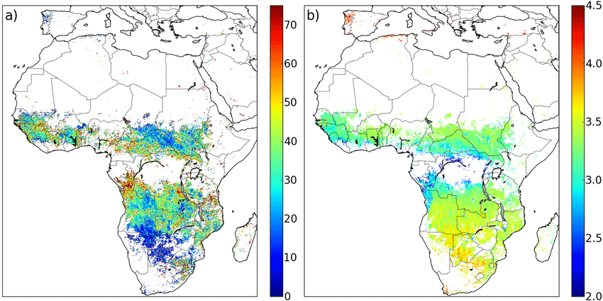
Satellite imagery from systems such as MERIS and MODIS are also helping refine such modelling so that projections and comparisons to previous data are more accurate. This includes projects where databases, such as FRY, that track patches of areas affected by fires are made available. Such databases are intended to be used not only to look at areas but also using area and vegetation indices one can calculate how much carbon is burned in a given area, thus further contributing to emissions. For instance, MERIS and MODIS can be used for normalized difference vegetation index (NDVI) calculations, which can capture how much vegetation there was before an area is burned, then after the fire the carbon lost could be determined. This can help refine climate models that look at both anthropogenic emissions but also emissions related to increased fire rates.[4] New tools, such as the satellite system Deep Space Gateway Lightning Mapper, will also help monitor another important factor in fires, which is lightening. While we know lightening affects fire patterns, we do not currently know, at least very well, how lightening activity has changed due to anthropogenic climate and other effects. Monitoring change to lightning will help better look at how this important factor relates to changing fire patterns.[5]
What will be critical to better predicting the impact of fires in the future is a refinement of models with better data capture. The availability of new satellite data and more fine-scale resolution of fire data will likely help; however, uncertainty on climate variability could limit forecasting capability of future models. Nevertheless, the overall trend indicates that fires will likely be more intense and fire seasons will last longer than current conditions. Areas in Asia and Africa are also likely to be more affected than what we can currently see.[6]
Changing technologies, including new satellite systems, and better climate and fire modeling, including the integration of these tools and data capture methods, will likely mean improved fire modeling in the future. Nevertheless, even with current tools we can see an important trend emerging in global fire patterns. Overall, strategies to limit or suppress fires will have to consider resources that are made available at times and places where fires may have not been as large or as long lasting throughout the year. This may include developing more rapid reaction capabilities and ways to deploy resources to more remote areas. While our monitoring and forecasting capabilities have improved, our ability to mitigate expected impacts of fire is not clear.
References
[1] For more on overall declining trends in fire, see: Andela, N., Morton, D. C., Giglio, L., Chen, Y., van der Werf, G. R., Kasibhatla, P. S., … Randerson, J. T. (2017). A human-driven decline in global burned area. Science, 356(6345), 1356–1362. https://doi.org/10.1126/science.aal4108.
[2] For more on broad area fires, see: Westerling, A. L. (2016). Increasing western US forest wildfire activity: sensitivity to changes in the timing of spring. Philosophical Transactions of the Royal Society B: Biological Sciences, 371(1696), 20150178. https://doi.org/10.1098/rstb.2015.0178.
[3] For more on how anthropogenic climate change is changing the nature of fires, including their intensity and length, see: Abatzoglou, J. T., Williams, A. P., & Barbero, R. (2018). Global Emergence of Anthropogenic Climate Change in Fire Weather Indices. Geophysical Research Letters. https://doi.org/10.1029/2018GL080959.
[4] For more on FRY and use of satellite imagery in calculating and keeping data on fire around the world, see: Laurent, P., Mouillot, F., Yue, C., Ciais, P., Moreno, M. V., & Nogueira, J. M. P. (2018). FRY, a global database of fire patch functional traits derived from space-borne burned area products. Scientific Data, 5, 180132. https://doi.org/10.1038/sdata.2018.132.
[5] For more on Deep Space Gateway Lightning Mapper, see: https://ntrs.nasa.gov/search.jsp?R=20180001589.
[6] For more on fire models and ways to improve them for future forecasting, see: Hantson, S., Arneth, A., Harrison, S. P., Kelley, D. I., Prentice, I. C., Rabin, S. S., … Yue, C. (2016). The status and challenge of global fire modelling. Biogeosciences,13(11), 3359–3375. https://doi.org/10.5194/bg-13-3359-2016