
The economic, social and cultural viability of any nation is mainly determined by the land and water resources that it has (Harahsheh, 2001). These natural resources are essential to the economy of a nation since they play a critical role in the provision of employment, they are a source of raw materials for various industries, acts as a source of food and income, medicine as well as energy.
The aesthetic beauty that relates to natural resources is always regarded as the cultural representation of nations. For instance, when one talks about the grand canyon, the picture of the United States comes into mind. When one talks about oil wells, one thinks about the Middle East. Consequently, when one talks about the big 5 game animals, the picture of Africa, especially the Maasai Mara in Kenya comes into play.
However, it is essential for nations to learn how to use these resources in a sustainable manner to ensure that their benefits are enjoyed in the present as well as future generations. This is because, these resources can be depleted if they are not utilized in an effective and efficient manner. At the present moment, the utilization of the resources present in the world has been overstretched due to the ever rising population of human beings (Swe, 2005).
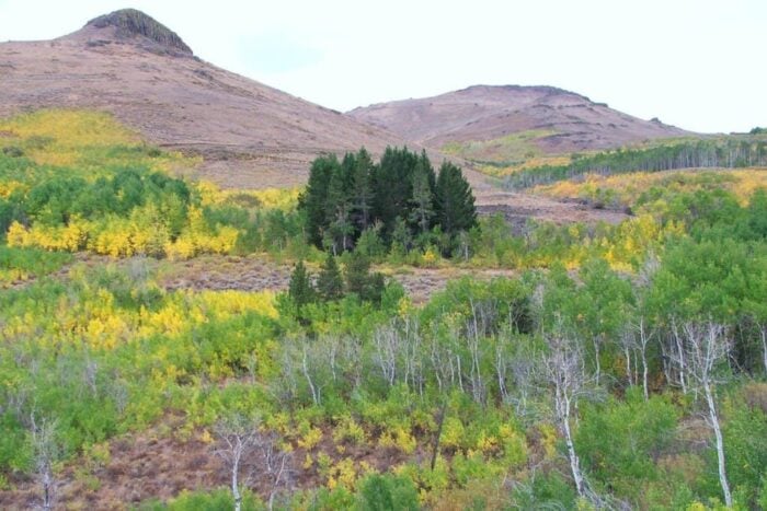
It is as a result of this population pressure that forest cover all over the world has declined due to human encroachment. This has greatly increased human/wildlife conflicts and encouraged the development of desert like conditions. Ultimately, the depletion of natural resources has led to an increase in the cost of living, changes in weather patterns and a decline in the economic, social and cultural benefits that were accrued as a result of their utilization.
Due to these constraints, there is a dire need to ensure that these resources are effectively managed. A lot of management practices have been advanced in the field of natural resource managed to achieve this goal. Some of them have been effective while others have failed to achieve the desired outcome. However, with the current trend in the advancement in the field of information technology, natural resource managers have now laid a lot of emphasis on the use of remote sensing and GIS technologies in the management of natural resources.
These technologies provide a platform through which managers can generate informative data and information that can be used to make sound decisions for sustainable development. For over three decades now, the use of land-based satellite remote sensing has been in application in almost all realms of earth sciences. All through this time, remote sensing and GIS technologies have always generated informative data that have led to the sustainable management. On these grounds therefore, this article will focus on how remote sensing and GIS is used to generate data and how this information is used in the decision making process to achieve sustainable management of natural resources.
Use of Remote Sensing and GIS in Natural Resource Management
In natural resource management, remote sensing and GIS is mainly used in the mapping process. These technologies can be used to develop a variety of maps. Examples include:
- Land cover maps
- Vegetation maps
- Soil maps
- Geology maps
However, before these maps are developed, there are a variety of data that need to be collected and analysed. Most of this data is collected with the help of remote sensing technology. Data can be collected using either ground photographs, aerial photographs or satellite photographs of the area of study.
The choice of the photograph usually depends on the topography of the area of study and the aim of the study. For instance, aerial photographs (vertical or oblique) are always useful when spatial data need to be collected in the same area of study within intervals (hours, days, seasons, years etc). This form of data collection shows the variations of the area of study within different periods of time (Elias, n.d.).
Satellite photographs can also be used to collect relevant data for the study. These types of photographs are however superior to aerial photographs in the sense that they have higher spectral, spatial, radiometric and temporal resolutions. Thus, satellite images are more detailed hence a lot of data can be generated from them. However, for remote sensing data to be effective, it needs to be incorporated together with topographical maps that show the variation of climate, soils, and other factors.
The visual and digital data that has been collected is usually analysed to generate a pre-field map. Various components and elements of the data is analysed. According to Elias (n.d.), elements such as tone, texture, pattern, association, size and shape are essential in the analysis process. These elements bring about a detailed view of the area of study. The pre-field map that has been generated together with the results from the analysis of the various elements is used to determine the characteristics of different elements and themes found on the ground.
Ground verification of the collected data is a critical process. To ensure that it is carried out in the most effective and efficient manner, the study area is usually divided into quadrants or transects. This is done to ensure that the interpreted elements of the satellite data conform to the ground characteristics. The data that is collected on the ground is geo-referenced with the help of a GPS to ensure that its corresponding location can be accurately identified in the images that were collected earlier.
Additionally, field points identified in the images are visited to verify information regarding the state of the vegetation, geomorphology, topography, soils, and so on. With the use of the pre-field map that was generated, information from ground verification procedure and any other secondary source that might have been used, the final map is usually prepared. The scale of the map is also variable depending on the nature and extent of the study and the goals that it aims to achieve.
Application of GIS Data in Forest Management
Over the last century, the forest cover of the world has declined at an alarming rate. Being a renewable resource, forest cover can be regenerated through sustainable management. Hence, with the help of remote sensing and GIS data, a forest manager can generate information with regards to forest cover, types of forest present within the area of the study, human encroachment into forest land/protected areas, encroachment of desert like conditions and so on. This information is critical in the development of forest management plans and in the process of decision making to ensure that effective policies have been put in place to control and govern the manner in which forest resources is utilized.

Further resources:
Application of GIS Data in Watershed Management
Water as a resource has been diminishing over the years. In Africa and other developing nations, the availability of clean water has been always scarce. Water management has therefore been a challenge in developing nations. However, with the use of satellite data, water bodies such as rivers, lakes, dams and reservoirs can be mapped in 3D with the help of GIS technology.
This data can be used in the sustainable management of water bodies since respective authorities can decide which regions need effective protection and management. At the same time, decisions regarding the most effective means of utilization of these regions can always be arrived at.
Application of GIS Data to Combat Desertification
Geospatial data can be used to determine the soil types present in a given area and nutrient availability. Negative change can always be identified once this data is collected over a long period of time. GIS data can also be used to determine the land use practices within a given area and vegetation constitution and the impact that they have on the environment. Consequently, slope information of a region can also be determined with the use of GIS data. With all this information, an individual can easily determine whether desert like conditions are encroaching in an area. If desert like conditions have been identified, its impacts and intensity shall be analysed in order to decide on whether artificial or natural methods shall be used to combat the situation.

Credits: ESA, TU Wien
Further resources:
Application of GIS Data in Biodiversity Management
Geospatial data can also be used in the management of flora and fauna within protected areas. Ground and aerial photographs, for instance, are essential in this practice. Aerial and satellite photographs can be used to determine the presence and distribution of vegetation within a protected area. These photos can also be used to determine the presence and distribution of invasive species within an ecosystem. This information is essential as it determines the amount of cover and food that is present, particularly for herbivores during various seasons of the year.
Aerial photographs can be used to ease the process of counting during animal census activities. The stop capability of photographs eases this process. It is always essential for protected area managers to determine the population and distribution of various animal species within a protected area to ensure that they have enough food and water, to eliminate the chances of overstocking that might lead to soil erosion and to ensure that a balance within the ecosystem is arrived at.
Geospatial data can also be used to show human encroachment into protected areas as well as animal activities outside protected areas. This data critical especially in the process of resolving human/wildlife conflicts. Finally, the use of GPS technology can be applied to monitor the movement of endangered species as well as newly introduced species to determine their progress as well as protecting them from poachers.
Finally, geospatial data can be used to carry out environmental impact assessment (EIA) of various projects carried out within protected areas. Projects such as building of roads, buildings, pipe ways, dams, and so on might have various effects on the flora and fauna of the ecosystem. Thus, geospatial data has become essential in biodiversity management.
Further resources:
- Conservation Biology and GIS
- Monitoring Conservation Easements and Preserve Lands with GPS and GIS Technology
Conclusion
With the increasing pressure on natural resources due to the rising human population, remote sensing and GIS can be used to manage these limited resources in an effective and efficient manner. Geospatial data are effective in the analysis and determination of factors that affect the utilization of these resources. Thus, with the understanding of these factors, sound decisions can be arrived at that will ensure the sustainable use of natural resources to meet the needs of the present generation as well as future generations.
GIS and Natural Resource Management References
Elias, M. (n.d.). GIS and Remote Sensing for Natural Resource Mapping and Management. Retrieved on 5th October 2012 from http://www.saudigis.org/FCKFiles/File/SaudiGISArchive/2ndGIS/Papers/2_E_MohamedElias_UAE_F.pdf
Harahsheh, H. (2001). Development of Environmental GIS Database and its Application to Desertification Study in Middle East. Chiba: Chiba University
Swe, M. (2005). Application of GIS and Remote Sensing in Myanmar. Retrieved on 5th October 2012 from http://www.aprsaf.org/data/aprsaf12_data/day2/eo/5_APRSAF-12MS.pdf
About the Author
Peter Rodericks Oisebe is a Natural Resource Management Consultant in Kenya, East Africa. He may be reached via email at peteroisebe@gmail.com