

Story maps are a powerful tool that visualize events and what has happened to those who are displaced. There are many projects that record where refugees are coming from and the events that displace them. However, only recently are efforts attempting to get the refugees themselves to tell their story through maps. Refugees are also learning how to use GIS to better enable their own skills and improve their circumstances. Furthermore, while story maps are one type of way of telling a story, refugees of all ages are also using simply hand-drawn maps to share information that benefits wider communities.
Refugees, whether due to war, political events, or even now climate change, have been steadily increasing in many regions. Recently, Esri has promoted one of their story maps, The Uprooted, which tells the story of refugees and the experiences they go through as they flee different countries.[1] Such a story map shows the type of statistics you would expect, with detailed mapping on the number of refugees and satellite data showing how refugees are beginning to affect the landscape such as in the Middle East, Europe, and Africa. The story map not only provides such data, but it shows more personal information on families, how they live, their circumstances in camps, and the story provides imagery of experiences and what people as they have to make a decision on where to flee. Information about helping refugees is also available. Much of the intent is to educate in such a story map, as the effects of refugees is also causing changes in countries where refugees are going, such as increased rates of hate crime and tensions.

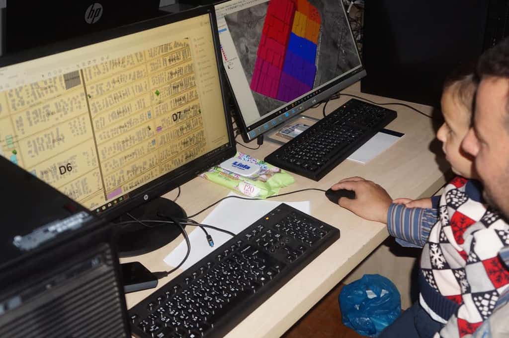
Researchers have also gone into refugee camps, such as the Zaatari refugee camp in Jordan, to create and initiate computing laboratories and infrastructure to help refugees better understand their surroundings and keeping track of important resources and information within camps they live in to empower them more and teach valuable skills. A wide range of activities were also taught that allowed refugees to document their own lives and use their mobile phones to keep track of events and record them using their devices. Some of the maps that refugees have created are also at a quality that allows them to be used for daily refugee camp management by aid agencies and the United Nations.[2] Effectively, GIS is seen as a way to empower those affected by humanitarian catastrophe. Some of the refugees have since become certified and can use their new skills for employment. [3]
The Choice Program at Brown University also uses refugee stories and maps that teach others about refugee experiences. As refugees and others map their experiences, it also becomes a powerful way for others to better understand the circumstances and reasons as to why someone became a refugee. This could potentially help those who are in developed countries better understand the scope of the problem and complex factors that have led to increasing rates of refugees today.[4]
In a 2017 study, 26 refugees fleeing to Australia mapped their experiences, first starting from hand-drawn maps, that told their story of avoiding hazards, including inclement weather and other dangerous hazards they were less aware of as they made their way to Australia and within Australia itself. This work included conducting interviews with the refugees to document their experiences. The maps help tell the story of how the refugees used their skills to stay safe and adapt to their new homes. The maps are simple but allow both young and old refugees to reflect their story and share experiences. Disaster response and community groups where refugees have migrated to are also using the stories and experiences from refugees to better prepare their own communities and services. The result of this work are now an online resource that documents the mapping project and can be used to help build community resilience.[5]
Refugees are an increasing part of the world today, reflecting the many global problems that we have been experiencing in recent years. Refugees have also caused great social tension within societies that they have migrate to. However, refugees do not have to be powerless victims of their circumstances. Several projects have now been undertaken or are continuing to encourage more proactive use of maps and mapping as a way to increase community resilience, communicate stories and information to a wider audience, or even using trained and learned mapping skills to help with managing refugee camps and activities.
References
[1] For more on the story map called The Uprooted, see: http://storymaps.esri.com/stories/2016/the-uprooted/.
[2] For more on how maps were used in the Zaatari refugee camp, see: https://theconversation.com/i-teach-refugees-to-map-their-world-94160.
[3] For more on how mapping can assist with humanitarian relief and empower those in need of aid, see: Tomaszewski, B., Judex, M., Szarzynski, J., Radestock, C., Wirkus, L., 2015. Geographic Information Systems for Disaster Response: A Review. Journal of Homeland Security and Emergency Management 12. https://doi.org/10.1515/jhsem-2014-0082.
[4] For more on Brown University’s Choice Program, teaching about refugees and using maps, see: https://www.choices.edu/teaching-news-lesson/refugee-stories-mapping-crisis/.
[5] For more on how refugees have documented their experience and how these resources can help community resilience, particularly in dealing with disasters and inclement weather, see: https://www.preventionweb.net/files/57379_colearningdisasterresiliencetoolkit%5b1%5d.pdf.