

According to the United Nations, the sustainable development goals (SDGs) are the blueprint to achieve a better and more sustainable future for all. They address the global challenges we face, including those related to poverty, inequality, climate, environmental degradation, prosperity, and peace and justice. The Goals interconnect and in order to leave no one behind, it is important that we achieve each Goal and target by 2030
Starting with this quote from the UN’s official website about the Sustainable Sustainable Goals (SDGs), it is well understood that SDGs is all about how to better manage our resources for a more prosperous economic and societal future.
Governments, industry, and scientists have long recognized the critical importance of Earth observations as an information source in support of many sectors of society. Earth observations (from satellite, airborne, and in-situ sensors) provide accurate and reliable information on the state of the atmosphere, oceans, coasts, rivers, soil, crops, forests, ecosystems, natural resources, ice, snow and built infrastructure, and their change over time, are directly or indirectly necessary for all functions of government, all economic sectors and almost all day-to-day activities of society. Earth observation programmes represent the largest investment globally in relation to applications of satellites by national governments — typically through their national space agencies — recognizing their capacity to address such critical challenges as climate change, water availability, food security, natural disaster mitigation, safe and secure transport, energy and resources security, agriculture forestry and ecosystems, coasts and oceans, health issues, and national security.
Do you know that United Nations Sustainable Development goals are supported by the geospatial industry?
UN SDGs provide guidance anout goals, targets and indicators that helps us grow economically and socially in a sustainable manner. Earth Observation and GIS technologies have a huge impact on both monitoring the implementation of the targets and calculating specific indicators.
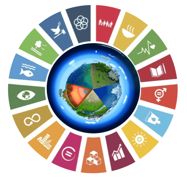
UN SDGs and Earth Observation and GIS technologies
As you have probably guessed, all these goals can be monitored using indicators. Many of these indicators can be estimated or measured using GIS and Earth Observation techniques, algorithms, methods and data. Having a total of 244 SDG indicators, you can imagine the variety of different use cases for our geospatial industry.
For this reason I have created an online course for exactly this purpose. By enrolling to this 100+ minutes course, you will start getting familiar with all the targets and indicator that have relevance to Earth Observation and GIS.
What will you learn?
- Learn what are the UN SDGs
- How SDGs are connected to Earth Observation and GIS
- Learn which targets and goals are associated with the geospatial technologies
- Get the big picture and get inspired on the dozens of Earth Observation and GIS applications that help to realize the UN SDGs
About the Author: Dimitris Sykas
I’m a Remote Sensing and a Surveying Engineer. I received my degree from NTUA in 2010, where I also received my Ph.D. in hyperspectral remote sensing in 2016. From graduation in 2010, my career started as a Researcher Associate and Teaching Associate in the Laboratory of Remote Sensing of NTUA. From that time I also worked at several private companies as a Remote Sensing Expert and Geospatial Analyst. From the beginning of 2015 I was positioned as Senior Earth Observation Expert. During these years, I have participated in more than 20 funded European Commission and European Space Agency projects, have over 16 peer reviewed scientific publications in the field of Remote Sensing, and have an international patent in hyperspectral data compression. My main research and professional interests are in the optical remote sensing area, where I specialize in data (images, point measurements) processing and algorithm design and development. Some of the software tools that I operate to accomplish my research and business dreams are SNAP, ENVI, IDL, QGIS, ERDAS Imagine, ArcGIS, and Python. I have been working with these tools since 2008.