
historical maps

Travel through Time with New York City’s Maps
Rebecca Maxwell
The New York City Public Library introduces an online map warping tool, offering access to over 10,000 historical maps of the city.

Where to Look for Historical Maps
Caitlin Dempsey
The use of extracting data from old paper maps is growing in popularity as a method to understanding historical geography. ...
Best of GIS: Notable 2011 Geospatial Happenings
Caitlin Dempsey
It’s been a very long time since I’ve done a “best of GIS” year end review. Listed below are ...
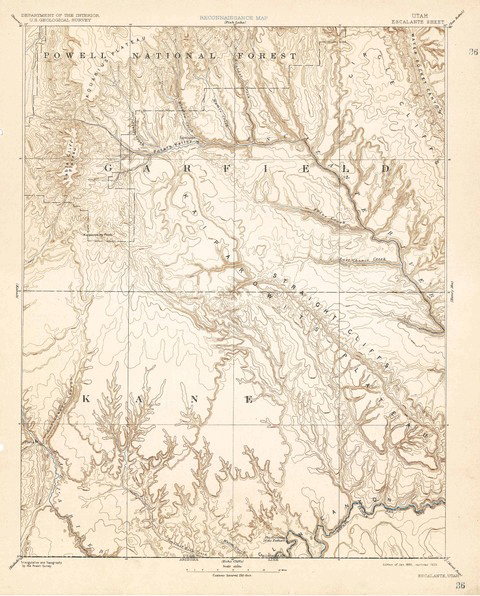
Over 120 Years of Mapping History Online
Caitlin Dempsey
The USGS Historical Topographic Map Collection currently makes over 98,000 maps dating as far back as 1884 available to the public.