
political geography

These Two Countries are Separated by 2.4 Miles and 21 Hours
There exists a geographic point where two of the largest countries in the world are only separated by a 2.4 miles but are 21 hours apart.

Geography of Beliefs
Geographic factors can shape our beliefs not only in our early life and development years, but they can also affect us as we move and change where we reside throughout our lives

Review | The Best American Travel Writing 2019
The 'Best American Travel Writing 2019' features pieces on either dangerous places or the pursuit of the exotic as well-informed as they are well-written.

Indonesia Will be Moving Its Capital
Driven by congestion and the gradual sinking of Jakarta, Indonesia announced that it will be moving its capital to a location on the island of Borneo.
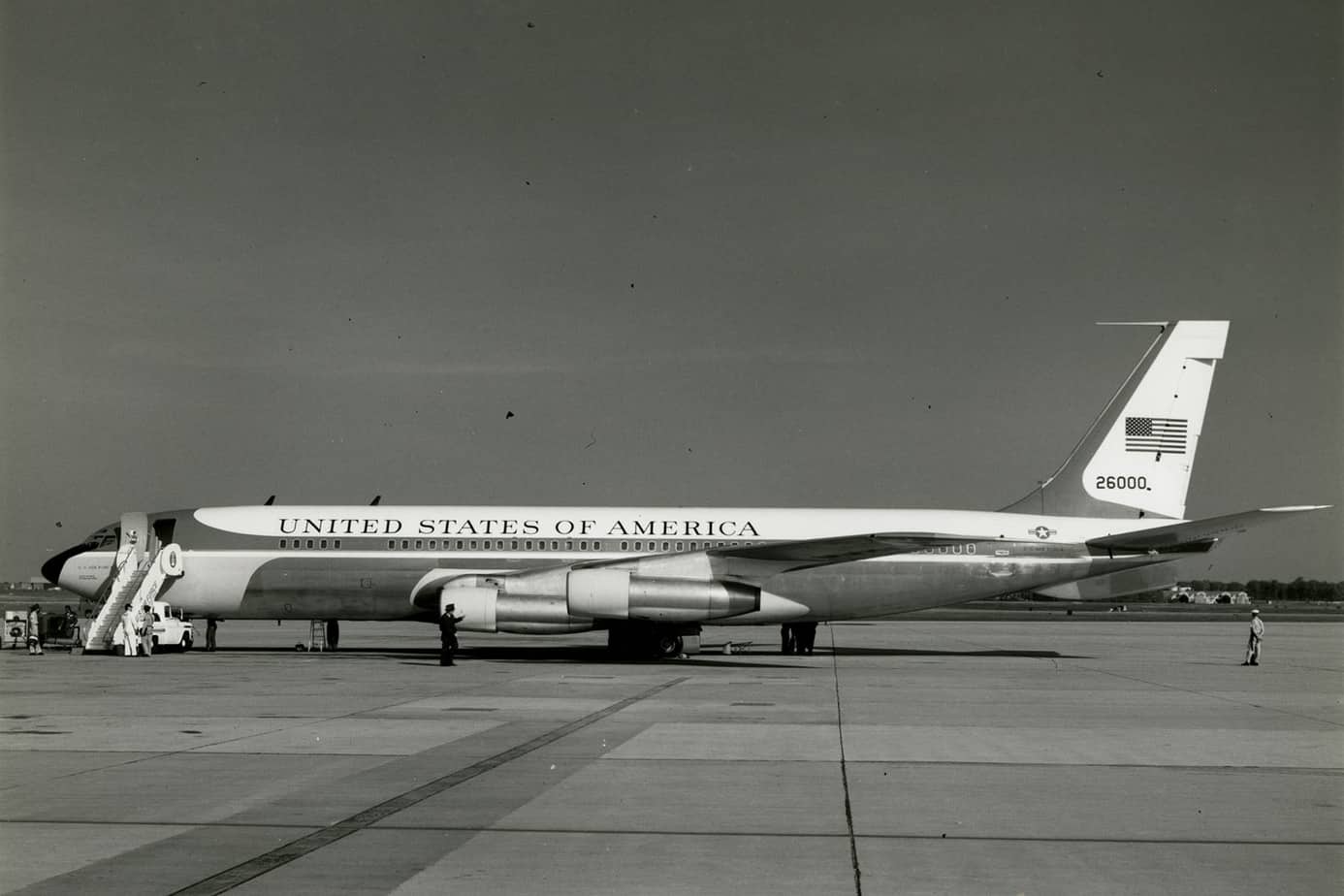
Geography of International Travel by U.S. Presidents
So where have U.S. presidents traveled? This article explores the geography of international travel by sitting U.S. presidents.

Review | The Longest Line on the Map
This book tells the story of how and why the Pan-American Highway was conceived and, poignantly, the why of a stubborn gap that remains unconnected.

Changes in Countries and Capital
Listed here are more recently formed countries and capitals that have moved and well as some geography news items about some countries.

Interesting Geography Facts About the US-Canada Border
Here are some interesting geography facts about the Canada–United States border.

A Victorian Teenager Created These Comical Maps of Different European Countries
In the 1860s, a young girl decided to amuse her sick brother by creating maps of various European countries.
How Geography Influences Voting Behavior
Voter turnout in elections is heavily influenced by factors such as geographic proximity to polling places. Voter turnout is influenced by a variety of factors, including race, district size, district redrawing, and even weather.

Geography of Conflict
Geography can show us how physical and social factors shape global conflict today and in the past.

Fantasy Geopolitics: The Gamification of Geography
Teacher Eric Nelson has create a fantasy geography called that combines his love of fantasy football with the study of current events.

Is Germany Landlocked?
The easiest way to tell if a country is landlocked is to take a look at a map of the country and the surrounding geography.

MapWatch: Tracking Political Cartography
Researchers from Northeastern University have created a database called MapWatch which shows how maps and borders change based on geography.

GIS, Elections, and Politics
Political geography focuses on past election cycles in order to look at how voting patterns develop and why. Mark Altaweel discusses how GIS can be used to study those patterns.

Norwegian Mapmaker Wants to Give a Mountain to Finland for its 100th Birthday
A retired Norwegian mapmaker has proposed that Norway shift its border 660 feet (200 meters) in order to gift the mountain of Halti to Finland in honor of its 100th anniversary independence.

Which Continent Lies in All Four Hemispheres?
While several of the world's continents are traversed by the separation between two hemispheres, there is only one continent in the world that lies in all four hemispheres: Africa.

The Complex Geography of the Brexit Vote
A.J. Rohn takes a look at the geographical factors behind the recent vote in the United Kingdom in favor of leaving the European Union in its controversial Brexit referendum.

What is the Difference Between The United Kingdom and Great Britain?
This article outlines the differences between the United Kingdom (also known as the UK), Great Britain, and the British Isles.

The Map that Started the Red and Blue Election Map Trend
Historian Susan Schulten has traced the practice of mapping elections of the country by color to 1883.

Landlocked Countries in South America
Learn about which countries in South America are landlocked.
What are Ghost Nations?
Ghost states are states that function just like any other nation, but for various political reasons go unrecognized by the rest of the international community.

Conflict over Gibraltar: Who has control?
Gibraltar is a 6.5 square kilometer territory located south of the Spanish border, along the Strait of Gibraltar. The small ...

Where is the Only Area in Europe Where no Borders Exist?
Lake Constance's shoreline touches three different countries: Germany to the north, Switzerland to the south and Austria at its eastern end. The water body itself contains no borders since there is no legally binding agreement between the three countries.

Five Fun Facts About International Borders
Learn about some of the most fascinating international borders in the world.