
What comes to mind when you think of the most fragile environment on the planet? Do you imagine the Polar Regions, the Amazon rainforests, or the ocean? Peatlands might be one of the most delicate ecosystems on Earth as well as those in need of most protection. These wetlands, home to some of the richest storehouses of carbon, are being quickly depleted due to human activity.
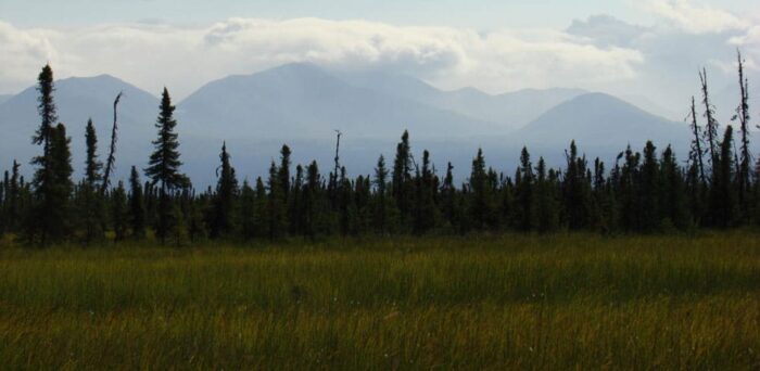
Peatlands are those environments that are made up of a thick, organic, water-saturated layer of soil called peat. Peat is composed of decaying and dead plant material, and peatlands include bogs, mires, swamps, moors, and tundra. Peatlands only make up about three percent of land but besides storing carbon, they also provide an important home for many threatened and rare plant and animal species. Plus, they are a vital source of drinking water.
The problem is that many peatlands are being threatened as a result of human endeavors. Precious landscapes are being lost, frequent and uncontrollable fires are occurring, and vast amounts of carbon are being released because of the destruction of these ecosystems. Peatlands are best when left intact.

To this end, satellites are being employed to help safeguard peatlands from further devastation. A company from Oxfordshire in the United Kingdom called Rezatec is hoping that their Peat Spotter project will help to restore these vital areas. Rezatec was created to help other businesses better manage their land by making use of information and imagery from satellites, and it is supported by the European Space Agency’s Integrated Applications Promotions program.
Rezatec’s Peat spotting project gives landowners an easier way to assess the economic value of conserving and restoring their peatlands as well as helping them to monitor the results. Landowners can better oversee their peatlands through maps of the area and measurements of the amount of carbon that land contain. In addition, they can examine how the land is changing over time.
Satellites are providing much of the data to do so with images in conjunction with data collected by field agents on the ground. An agent in the field uses handheld devices with apps that prompt for measurements, and satellite navigation provides the location information. Rezatec also includes a wide variety of other function on its apps including the ability to upload photos, identify flora and fauna, monitor borders through videocams, and send alerts when levels are breached.
One of the reasons why peatlands are vital is because they often serve as essential sources of drinking water. Rezatec hopes that water companies will sign up for their services because they can drastically reduce the amount of water that needs to be treated if they can identify degraded peatland areas and restore water sources. Water that comes from damaged peatlands have heightened levels of dissolved carbon.
This new approach to the conservation of peatlands is a cost-effective way to both measure the extent of peat and evaluate how intact these areas are. This is important because these remote areas are often inaccessible and expensive to measure from the ground. As a result, it will be much simpler to determine the economic value of protecting and restoring these peatlands. This, in turn, is helpful for society, the economy, and the planet.
Reference:
“Satellites for Peat’s Sake.” http://www.esa.int/Our_Activities/Telecommunications_Integrated_Applications/Satellites_for_peat_s_sake