
ArcticDEM is a project that is working to produce digital elevation models of the Arctic in order to see how topographical changes are occurring over time, such as the rate at which glaciers are receding.
ArcticDEM is a coordination with the Polar Geospatial Center, governmental agencies, and Esri as part of a larger initiative calling for the ‘enhanced coordination of national efforts in the Arctic to reverse the trend of climate change’. The loss of sea ice will majorly impact plant and animal species as well as raise the level of the sea, flooding low lying nations and cities around the world.
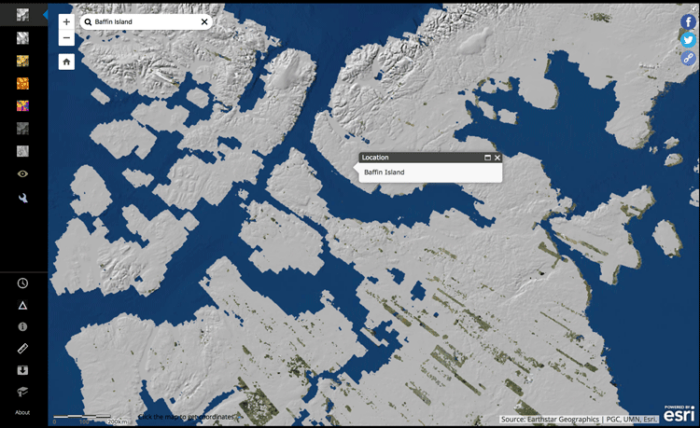
Changes in the Arctic regions can be seen over time with the new map; snow melt is changing the borders of the Arctic, and glaciers can be seen retreating. Using the Time Control and Measure Change tools, ArcticDEM offers multiple elevation models in some areas that allow users to see changes in elevation over time occurring in the Arctic. The project has added to previously held data and given researchers greater insight into how climate change is impacting the Arctic. The new map allows viewers to see incredibly detailed elevation models of Baffin Island, the Svalbard Islands, and Iceland.
ArcticDEM and its collaborating researchers hope that this project enables better planning for conservation of the Arctic. Arctic communities and others affected by climate change can use the map to determine their risk of flooding or shore erosion in case of a major storm. Arctic communities can also look at the data over time to see how their communities have already been impacted and what actions they can take to slow the effects of global warming.
Projects like ArcticDEM show that it is possible to gather multiple private, public, and governmental organizations together in order to study and act against the effects of climate change in Earth’s most vulnerable regions. This cooperation becomes all the more important in a world where climate change is impacting people and communities but being denied by others that it is even happening at all.
Visit: ArcticDEM Explore
