
To meet challenges of climate change, sustainability, and more efficient living, cities will need to be designed better than they have in the 20th century. We have generally learned what features make a city or urban space more beneficial to us and better adapted to an environment; however, planning such communities still largely depends on human input and expertise. This work also needs to navigate complex geographies limited by existing urban features or given settings.
Using artificial intelligence to design sustainable urban areas
Researchers now are trying to use artificial intelligence (AI) techniques, including deep reinforcement learning, to design more efficient and sustainable urban spaces despite these limitations and challenges.
Previously, scientists have developed computational methods to optimize urban plans. However, these plans are not always acceptable to urban stakeholders even if they are more efficient.
One solution might be to combine human-computer decision making that enables more acceptable and sustainable urban plans that are based on accepted metrics. Deep learning, which uses artificial neural networks, to solve tasks has become popular in recent years; urban planning has used deep learning in ways to solve particular problems, such as transport.

Can AI be used to optimize urban planning?
However, deep learning methods have not been extensively used to plan spatial layouts of multiple urban elements or even entire cities.[1] What makes the problem particularly challenging is urban settings generally have irregular layouts due to restricted geographies or older urban designs that limit any new construction.
To solve this problem, one solution is to make a sequence of tasks and decisions needed to make a more acceptable and sustainable layouts. This is done through a Markov process that is then solved using reinforcement learning, which is an artificial intelligence technique that optimizes given choices (e.g., decision to build a new road) that lead to better rewards or outcomes.
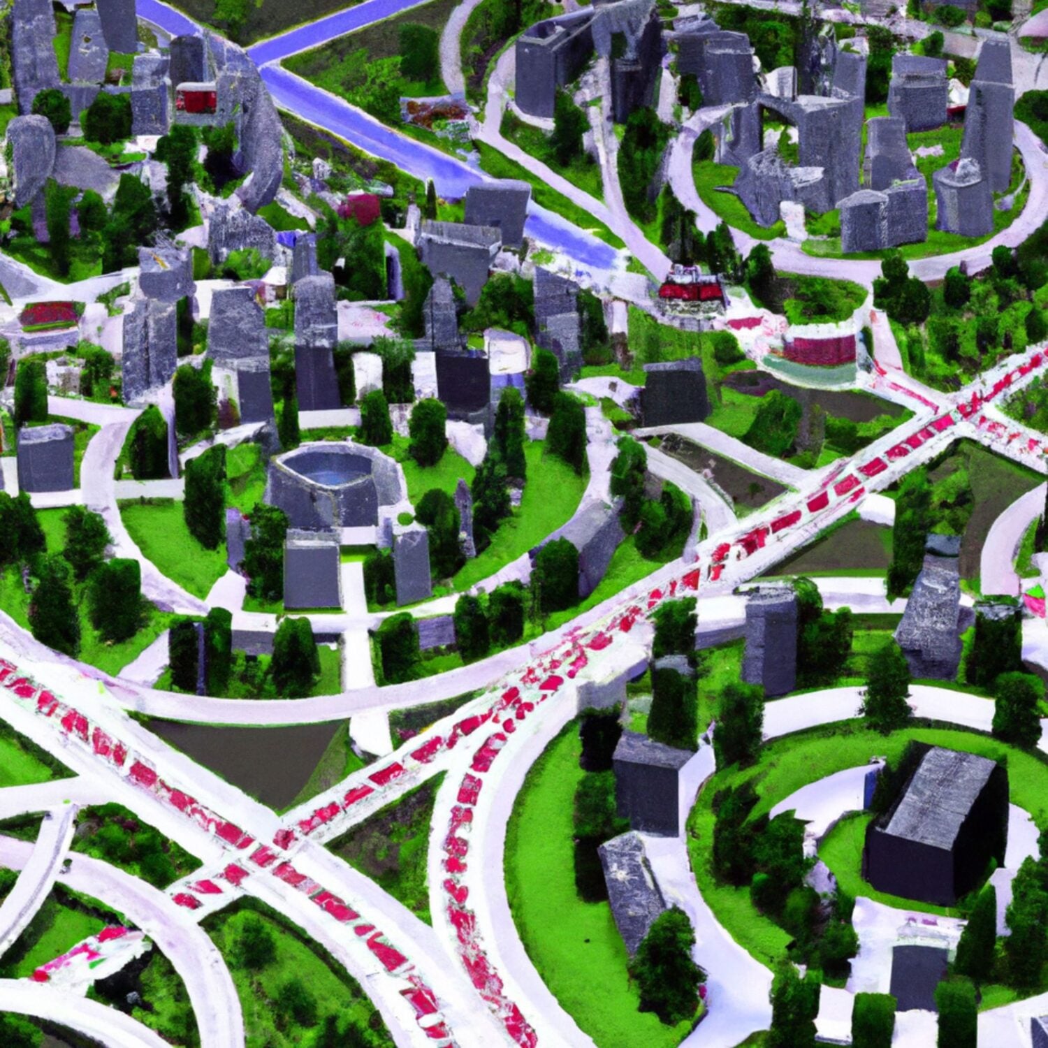
In the approach, urban settings are characterized as an urban contiguity graph (UCG), where elements of a place, including roads or land plots, are expressed as topological and spatial relationships.
When a new element, representing a new planning element such as a new road, is added to the topological relationship expressed in the graph, the layout is evaluated anew. This can be represented through the action space produced by the Markov process. In this case, the graph is evaluated for three key elements, including access to services, access to parks, and how efficient the road network is.

The problem, however, is not easily solved, as the spatial variability could make this problem hard and numerous options exist as to how the layout for an urban setting could be achieved. To make the problem more feasible, a graph neural network (GNN) is used to express geographic data as a graph so that the problem becomes constrained. Planning situations are evaluated via the graph relationships and choices are compared to other possibilities.
Action and value networks are created, with the value networks used to evaluate give actions for proposed layouts. Information in the UCG is evaluated using a GNN that produces given outcomes. Overall, this approach produces better results in the three categories evaluated, namely improved service access, ecological use (i.e., park access), and better traffic movement, when compared to human-generated planning by about 50%.[2],[3]
Combining AI with human input for urban planning
Although the results show the AI-based approach could optimize urban planning better than human-only planning, dependence on computational planning may not be the best choice. Similar to other computational methods, sometimes the most efficient method may not be acceptable to communities.
Instead, combining human-computational planning could be the best approach. For instance, urban plans and layouts could be introduced to a deep reinforcement learning approach, with the results of the urban layout then checked to see if it is acceptable to stakeholders or if adjustments may need to be made.
The benefit of this approach is it enables to not only have plans to be more efficient and acceptable to communities, but it can reduce the planning process by as much as a factor of 3000. This method is also more efficient than other computing methods for planning, while it enables planners to focus on conceptualizing a new plan and then evaluating its end results. Overall, design experiments show this approach is more efficient by 12% and 5% in performance metrics and reduces overall planning time.
The challenge of using AI to design cities, however, is not solved. Even by making this approach more efficient using UCGs and GNNs, designing a large city becomes immensely more complex as space scales. Not only the size of cities becomes an issue for any computing requirements of enormous graphs, but large cities are also complex systems with many more layers of social and urban environmental layers that may make tasks more difficult to solve, at least in a way that might be acceptable to local communities and many stakeholders.
For now, local use of deep reinforcement learning within neighborhoods or small communities could be the best option.
References
[1] An example of deep learning for planning of transport can be found here: Aqib M, Mehmood R, Alzahrani A, et al. (2019) Rapid Transit Systems: Smarter Urban Planning Using Big Data, In-Memory Computing, Deep Learning, and GPUs. Sustainability 11(10): 2736.
[2] The article that discusses using deep reinforcement learning and its application to urban design can be found here: Zheng Y, Lin Y, Zhao L, et al. (2023) Spatial planning of urban communities via deep reinforcement learning. Nature Computational Science. Epub ahead of print 11 September 2023. DOI: 10.1038/s43588-023-00503-5.
[3] An article that helps to explain the main research by Zheng et al. can be found here: Santi P (2023) AI improves the design of urban communities. Nature Computational Science. Epub ahead of print 11 September 2023. DOI: 10.1038/s43588-023-00515-1.
Related
- Mapping Urban Trees and Income in Manhattan
- Urban Geography and Big Data
- The Gray-Green Urban Divide: How Wealth and Poverty are Visible from Space