
GPS
GPS stands for Global Positioning Systems and it is an important technology for GIS data collection.

Before There was GPS: Personal Navigation in the Early 20th Century
Here are a few creative ways inventors tried to make driving directions easier before there was GPS.
Real-time Satellite Tracking
N2YO.com is an online service that offers satellite tracking and information in real-time.
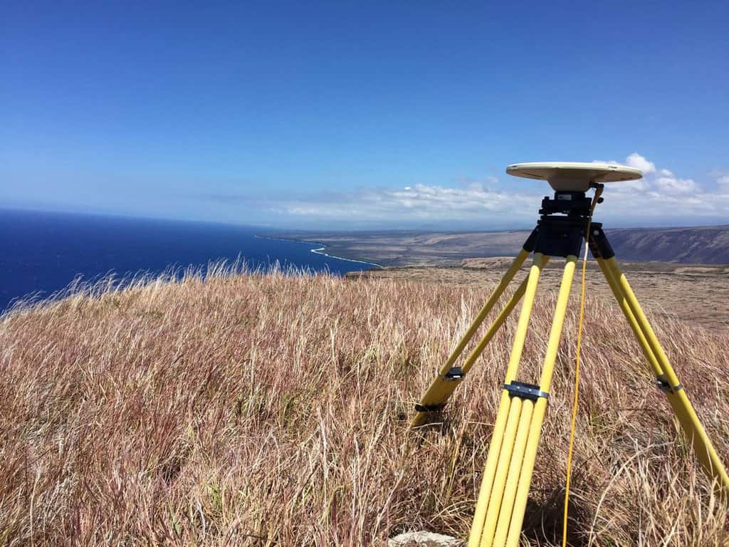
The Past, Present, and Future of GNSS
The Global Navigation Satellite System (GNSS) has emerged as the standard navigation system that provides global positioning for devices we use every day.

Can GPS Work on the Moon?
NASA researchers found that existing GPS satellites can provide navigational signals to the moon, aiding astronauts in future lunar missions.

Using GPS to Improve the Accuracy of Drone Mapping
By improving the precision of the GPS devices on UAVs, it is now possible to create much more accurate maps without needing to physically visit the area in order to ground truth.
European Global Position System Failure Points to the Importance of Location Technology
What is being called a “major outage” by the European Global Navigation Satellite System (GNSS) Agency, or GSA, highlights the critical importance played by the satellite systems that provide accurate positioning and time information to devices such as mobile phones, car navigation systems and other services such as land surveying.
Connecting to GPS in Tunnels
Waze is testing out technology it calls "Waze Beacons" to keep drivers connected to GPS navigation systems in tunnels.

Improving Satellite Navigation in the Far North
There is currently an effort to extend satellite navigation abilities into the north polar regions for transportation that occurs on land, over the water, and in the air.

Saying “I Love You” With GPS
Aspiring Romeos around the world have been employing their GPS tools in order to give a voice to their valentines.

Using GPS Data to Help Cities in Emergencies
In October of 2012, Hurricane Sandy struck the East Coast of the United States causing billions of dollars in damage. ...
Fun with GPS
A multitude of games and alternatives have emerged to capitalize on the affordability of handheld GPS units.

Crowdshipping: the Newest Development in Mobile GPS
Crowdshipping is the delivery of goods based on the selection of a courier closest to the delivery route. The service ...
GPS Experts Call for Safeguards After GLONASS Outage
The Russian GLONASS global satellite navigation system went down for 13 hours on April 2, but it’s not causing much ...

Global Navigation Satellite Systems
Few tools have helped change and improve data collection within the field of Geographic Information Systems (GIS) more than Global Positioning System (GPS).
GPS Jamming
GPS jamming disrupts GPS signals and can have severe impacts on transportation, military, and emergency services.

Geocaching – High Tech Treasure Hunting
Geocaching is an outdoor recreational activity in which participants use GPS devices or smartphone apps to hide and seek containers, called "geocaches" or "caches", at specific locations marked by coordinates all over the world.
Trimble GPS Handhelds Support Green Initiatives for the City of Shanghai
City of Shanghai implements environmentally conscious initiatives using Trimble GPS technology to improve the quality of life for city residents. ...
Utility Uses Trimble Technology to Develop Accurate GIS Database of Medium-Voltage (MV) Network
Guest article from Trimble. Home to more than 1.5 million people, Belgrade is the third largest and one of the ...
Goulburn Valley Water Improves Efficiency with Customized GPS Software
Guest article from Trimble. “To the left of the driveway behind the shed.” Imagine how long it takes to locate ...

Monitoring Conservation Easements and Preserve Lands with GPS and GIS Technology
Trimble discusses how they use GPS and GIS technologies to effectively manage and map over 8,000 acres of conservation land.
GPS and GIS Technologies Speed Assessment of Historic Sites in Post-Katrina New Orleans
In this case study, FEMA and NPS collaborated on field assessment methodology to meet National Historic Preservation Act (NHPA) requirements ...
Real-time GPS Mapping and GIS Solution Aids Efficient Disaster Management
Saturday, February 7, 2009 will forever be known as Black Saturday in the state of Victoria, Australia. In the midst ...
American Red Cross Uses Trimble Technology and RDMS to Speed Hurricane Disaster Relief
Since 1881, the American Red Cross has been the United State’s premier emergency response organization. In addition to offering neutral ...
GPS 1 – Cabbies 0
The battle by New York taxi cab drivers to prevent the Taxi and Limousine Commission (TLC) from requiring them to ...