
A recently published study in AGU’s journal Earth’s Future has forecasted that climate change is driving increased wildfire and landslide risk in Southern California.
Wildfires increase landslide risk by burning off ground-stabilizing vegetation. When intense storms happen, the increased rainfall waterlogs the soil, causing it to liquify.
Debris Flows
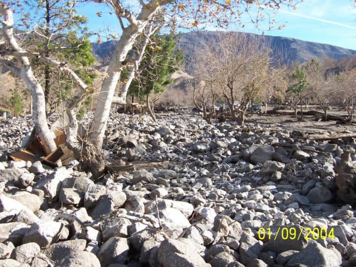
Called debris flows, these are a fast-moving mixture of water, soil, and rock that can destroy properties and cause death.
Climate Change is Fueling More Wildfires
With climate change driving increased wildfires and shorter, more intense rainfalls in California, researchers wanted to see where post-fire landslides are most likely to occur in Southern California. USGS researcher Jason Kean led a study that used historical fire, rainfall, and landslide data to model landslide risk in the region.

Southern California’s Topography Increases Post-Fire Landslide Risk
The steep topography and dense population of Southern California coupled with a very active wildfire season makes the region a particularly important area to study post-fire landslide risk.
With rainfall following closely after wildfire season, there often isn’t enough time for geologists to perform landslide hazard assessments and to formulate an emergency response.
Jason Kean, who is a hydrologist at the USGS in Denver, noted about the study, “This is our attempt to get people thinking about where these hazards are going to occur before there’s even a fire.”

In one example described in the paper, the 2017 Thomas fire started in December of that year and grew into the largest fire in California history at the time (1,140 km2). On January 9, 2018, before the Thomas fire was fully extinguished, the first rain storm of the season triggered a debris flow above Montecito.
The mudflow resulted in the 28 deaths and over 163 injuries requiring hospitalization.
The end analysis mapped the spatial distributions of probability and magnitude (volume) of debris flows looking at a range of parameters.
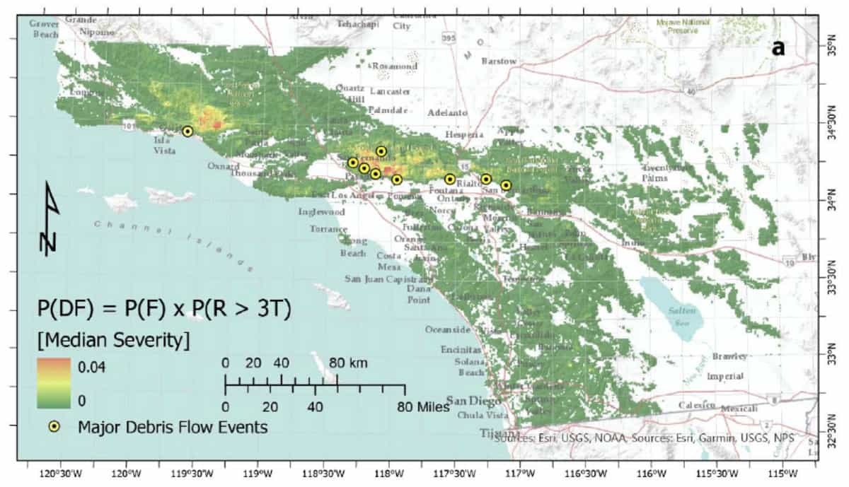
Overall, the study found that major landslides capable of damaging 40 or more structures can be expected every 10 to 13 years. Smaller landslides are now expected to happen every year.
The study:
Kean, J. W., & Staley, D. M. Forecasting the frequency and magnitude of postfire debris flows across southern California. Earth’s Future, e2020EF001735. https://doi.org/10.1029/2020EF001735
Laustsen, P., Kean, J., & Lipuma, L. (2021, February 25). Post-wildfire landslides becoming more frequent in Southern California. USGS.gov | Science for a changing world. https://www.usgs.gov/news/post-wildfire-landslides-becoming-more-frequent-southern-california