
A new research mission is being launched in order to continue to add to our knowledge of the seas, including expanded efforts to map the sea floor.
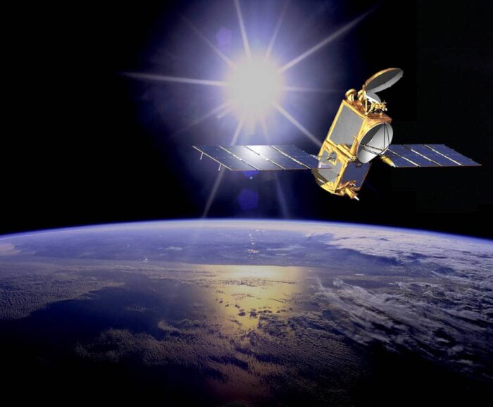
NASA, NOAA, the French Space Agency Centre National d’Etudes Spatiales, and the European Organization for the Exploitation of Meteorological Satellites are using their joint Jason-2 satellite for the project. The satellite was first used with these organizations for the Ocean Surface Topography Mission. Jason-2 has been in orbit for nine years and has regularly tracked the rise and fall of the ocean’s surface levels, in addition to gathering other important ocean metrics.
As the satellite ages, many of its components are becoming damaged due to the stresses of being in orbit for so many years. To keep other satellites in its same orbit safe, Jason-2 will be moved to a lower orbit to achieve the data gathering for its new mission. Jason-2 will be collecting data about the sea floor every 5 miles, which will be used to create a high-definition estimate of the average surface height of the ocean in various places around the globe. Previously, Jason-2 had been collecting measurements of the height of 95 percent of the world’s ice-free ocean every 10 days using its radar altimeter.

This new mission will help create more detailed maps of the ocean floor and allow for better modelling of ocean behavior when it comes to tracking tsunami forecasting, underwater earthquakes, and other anomalies.
The work of Jason-2 will also be used to pave the way for additional satellites that will be launched within the next few years. Another NASA satellite will be launched with its partners from the UK and Canadian Space Agencies that will be used to track surface water and ocean topography.
Scientists and researchers involved with Jason-2 say that even though the satellite has passed projections for how long it would stay in orbit, they are willing to keep working with the data the satellite can send back to earth. Although there are changes that need to be made to the older satellite, it can still send valuable information down to NASA and other agencies that are actively tracking the oceanographic information.
Jason-2’s lower orbit will allow it to track ocean currents, assist with weather forecasting, and a variety of other essential tasks that can be done with the aging satellite.
More: Veteran Ocean Satellite to Assume Added Role, NASA.