
Meeting the pressures of the delivery economy is not easy.
Accelerated due to the pandemic, the last-mile delivery industry would witness many IPOs, fund-raising rounds, acquisitions, and partnerships in the year 2021. The online food and grocery industry, in particular. The other side of this growth is the increasing pressure on the supply chain and the foot soldiers — drivers and delivery agents.
The Delivery Economy and Last-Mile Woes
The global online food delivery services market is expected to touch $154.34 billion in 2023 at a CAGR of 11.51%, ResearchandMarkets reported.
Looking at the movements in this industry, the forecast is set to be accurate. In August 2020, Doordash launched a grocery delivery service by partnering with grocery stores across the US. CNBC reported, Instacart has doubled its valuation and raised funds twice (latest in March 2021) since the pandemic began. Uber acquired Postmates in December 2020. BigBasket is set to be acquired by Tata Sons for $1 billion. Dunzo witnessed a 3X growth in the perishable goods category post-Covid.
Maps sit at the heart of these delivery businesses. As they rapidly scale, the internal routing and mapping engine will also have to match the pace of growth.
In the coming years, the pressure on last-mile delivery is only going to increase. With enterprises competing on promises such as next-day, same-day, or two hour deliveries, mapping solutions will have to be faster, cheaper, and smoother. As a result, the demand for last-mile navigation solutions that are scalable, on-demand, and in real-time will soar.
Enterprises will not be ready for this upward climb until the mapping challenges within last-mile delivery are addressed quickly and efficiently.
Current Situation: Glaring Gaps Waiting to be Closed
Step into the online communities of food and grocery delivery companies on social media platforms like Reddit and one would find great insights on where these businesses are falling short. The raw truth is hidden between subreddits of drivers, delivery partners, and customers.
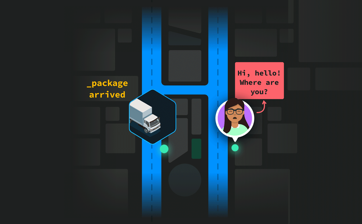
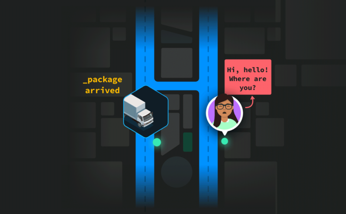
For example, an online food delivery driver posted advice for customers living in apartments, ‘please provide GPS coordinates to drivers so that they don’t get lost.’ Another driver provided instructions on how to adjust pins on delivery apps. A customer pasted detailed directions explaining the layout of their apartment complex — including the number of turns, trees, floors, and doors. Another user expressed frustration over a mapping giant tagging their location as an ambiguous ZIP code, resulting in missed deliveries. These examples are not from outdated posts, with the latest being from March 2021.
If drivers and customers have to spend their time, energy, and money to reach the correct drop-off location, doesn’t it indicate that the traditional mapping solutions are not working? Especially considering that hyperlocal services spend a substantial portion of their budget on building a mapping system for their products or services.
Problem: Counter-to-Couch vs Garage-to-Parking-Lot
The problem lies in how consumer-centric navigation solutions mark latitude/longitude coordinates of Point of Interest (POI) while populating mapping projects. Traditional map platforms derive delivery estimates for doorstep navigation by following the garage-to-parking-lot approach. It is calculated based on the distance between the pick-up location and the drop-off location, but without taking local nuances and real-time changes into consideration. This approach does not work for enterprises.
Food, grocery, and ecommerce delivery ETAs need to be calculated from counter-to-couch, rather than on-road travel times. This includes accounting for the last-yard stage as well, which is the transfer of goods from the last-mile destination into the receiver’s hands. The mapping solution for each of these use-cases needs to be tailored to the needs of the business.

For example, the entry/exit points in commercial complexes are different for a customer than for an unloading truck. Consumer maps might not mark internal roads of apartment complexes as POIs, but these are crucial POIs for a seamless door-to-door delivery experience.
Pinning POIs minus the real-world nuances leads to inaccurate ETAs, delayed deliveries, cancellations, and wrong drop-offs. The end result produces unhappy customers, frustrated drivers, missed opportunities, and piling losses. How can enterprises improve operational efficiencies and customer experiences?
Solution: Enterprise-Grade POIs, Not Consumer-Centric POIs
To prevent driver apps from providing incorrect information about the pickup or drop off location, delivery platforms should look at improving their POI mechanism with the help of hyperlocal mapping and routing solutions.
Customized POIs generated by enterprise-grade navigation solutions make it easier for users to search the exact location (click-to-book), specify the exact pickup/drop off location (walking distance from/to nearest entrance/exit/parking) and complete the task with minimal contact (customer and service provider).
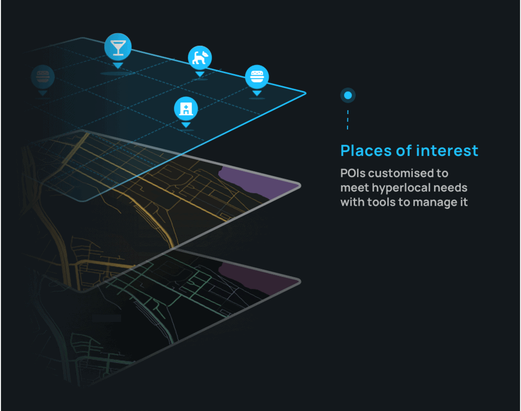
For instance, a customer-centric mapping solution believes that one map will fit all business use cases. Therefore, the POIs will be generic and often irrelevant or inaccurate.
On the other hand, an enterprise-grade mapping solution’s custom POIs will take into account local names and abbreviations of a location, type of vehicle, internal roads, and real-time restrictions. In the new normal, custom POIs are also equipped to adjust ETA estimates as per the pandemic guidelines of a particular area such as containment zones, security checks and health screening times, entry/exit restrictions, elevator restrictions, and package handling and drop-off instructions.
Custom POIs: Significant Impact on the Bottomline
Businesses can identify if they need custom POIs for a particular location by observing the percentage of cancellations and ETA deviations in that area. Customer feedback and call logs can also help to measure the effectiveness of existing POIs.
Curated POIs of a hyperlocal mapping and routing solution enable enterprises to lower cancellations and achieve higher map accuracy. By eliminating the risk of wrong drop-off points and faulty routes, drivers will spend less time on the road and logistic companies will save millions of dollars. With intuitive POIs, modern organizations can deliver a smoother delivery and pick-up experience for customers and drivers.
About the Author
Gaurav Bubna is the Co-Founder of Nextbillion.ai, an industry-leading spatial data mapping platform that provides software-as-a-service (SaaS) for enterprises. Bubna was a founding member of the maps product team and Head of Product, ETA’s and Navigation at Grab, a multinational ride hailing delivery service. Visit: https://nextbillion.ai