
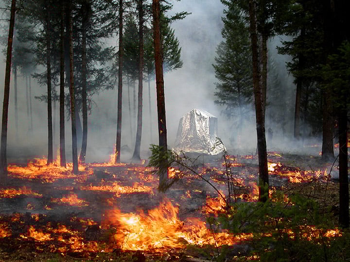
Each year, tens of thousands of residential dwellings in the United States are destroyed by wildfires. The vast majority of the loss of homes to wildfires occurs in what is known as the wildland-urban interface (WUI).
What is the wildland-urban interface?
The wildland-urban interface (WUI) refers to the transition zone between completely natural areas and human development within or near these undeveloped areas. There are two types of wildland-urban interfaces: intermix and interface.
WUI intermix is defined as areas where where houses, roads, and other human developments are interspersed within natural vegetation. The WUI interface is where residential areas directly abut undeveloped areas such as forests or grasslands. For both types of WUI, the risk of wildfires impacting human communities is significantly heightened.
Growth of the wildland-urban interface
From 1990 to 2010, the wildland-urban interface (WUI) in the United States expanded significantly in area, according to research funded by the U.S. Fish and Wildlife Service. Over these two decades, the WUI emerged as the most rapidly expanding type of land use across the 48 contiguous states. This period saw the construction of 13 million new homes in the transitional area, highlighting the significant growth of residential development in regions where human habitation meets undeveloped wildlands.

Climate change is increasing the intensity and frequency of wildfires
The growth of the wildland-urban interface (WUI) in the United States has significantly increased the risk of wildfires impacting human populations. As more people move into areas where residential developments border or intermingle with wildland vegetation, the potential for destructive wildfires grows.
This expansion is not just about more homes being built near forests or grasslands; it’s also about a greater number of people living in close proximity to areas that are naturally prone to wildfires. This situation is further exacerbated by climate change, which contributes to more extreme weather conditions, leading to hotter, drier environments that are ideal for the ignition and spread of wildfires. As a result, wildlife are becoming more intense and more frequent which in turn leads to more catastrophic loss of homes.

More homes in grasslands and shrublands burn than in forest fires
Researchers from the University of Wisconsin–Madison and the US Department of Agriculture Forest Service looked at three decades of data from 1990 to 2020 in order to analyze wildfire risks in the United States. In particular, the study looked in part at which types of vegetation were involved in wildfires and the associated number of buildings that were burned.
While the catastrophic fires happing in the forests of the Western United States tend to dominate in the news, this study that inventoried wildfire risks in the contiguous United States has found that more homes near or in shrublands and grasslands burn than residences in forested areas. The study found there are two reasons for this. The first is that there is a greater amount of residences in or near grassland and shrubland wildlands compared to forests in areas of the contiguous United States that are more prone to wildfires. The second reason is that grasslands and shrubslands have a vegetative composition that more rapidly provides a source of fuel for wildfires and therefore the same area will burn more frequently than forested areas.
More shrubland and grassland areas in the Western United States burn than forests
Between 1990 and 2020, grasslands and shrublands accounted for 64.0% of the total area burned (33 million hectares) in the contiguous United States. Forests made up a smaller portion of the burned area, representing 27.3% or approximately 14.4 million hectares. The remaining 8.7% of the land impacted by these fires, around 4.6 million hectares, consisted of various other types of land cover.
Grassland and shrubland wildland-urban interfaces are also the predominate WUI vegetation types, particularly in the Western United States. For example, in California over half of the intermix wildland-urban interface (52.3%) is made up of grassland and shrubland, while forests account for a smaller portion, comprising 30.1% of this area. In Arizona, shrubland dominates the intermix WUI (74.1%). The Western United States is notably the region with the highest frequency of wildfires.
The study found that the proportion of WUI vegetation shifts when looking at the Eastern United States. Ratios of forest areas to shrubland/grassland are much higher in eastern half of the contiguous United States.

So, while forest fires tend to burn at a greater intensity and therefore will have a higher rate of houses burned, the higher overall area of grasslands and shrublands, particularly in the Western United States where wildfires are more predominate, means that also more homes overall have burned in these vegetation areas. Between 2000 and 2013, 63.7% of homes in the contiguous United States lost to wildfires (10,890 houses) were built in grasslands and shrublands areas, while 33.1% of the destroyed houses (5,655) were located in forest areas. In the Western United States, this proportion was even higher: 79.5% of all buildings destroyed by wildfires (9,402 out of a total of 11,769 between 1990 and 2020) were lost in fires occurring in grassland and shrubland areas.
The study found that the Eastern United States was the region where forest fires are far more likely to cause destruction to buildings (82.1%).
More information helps to form wildfire management strategies
By taking a more granular analysis of available wildfire data, the study by Radeloff provides new insight that can be used to help form wildfire risk reduction strategies. The study helps to raise consciousness of the risks that wildfires in grasslands and shrublands pose to those developments in the wildland-urban interface.
References
Radeloff, V. C., Helmers, D. P., Kramer, H. A., Mockrin, M. H., Alexandre, P. M., Bar-Massada, A., … & Stewart, S. I. (2018). Rapid growth of the US wildland-urban interface raises wildfire risk. Proceedings of the National Academy of Sciences, 115(13), 3314-3319. https://doi.org/10.1073/pnas.1718850115
Radeloff, V. C., Mockrin, M. H., Helmers, D., Carlson, A., Hawbaker, T. J., Martinuzzi, S., Schug, F., Alexandre, P. M., Kramer, H. A., & Pidgeon, A. M. (2023). Rising wildfire risk to houses in the United States, especially in grasslands and shrublands. Science, 382(6671), 702–707. https://doi.org/10.1126/science.ade9223