
GIS Learning
Resources covering the basics of GIS. Tutorials for learning GIS, geospatial community, and geographic concepts.

GIS Day and PostGIS Day Are Coming Up
November 18, 2020 marks the 21st anniversary of GIS Day. The following day is PostGIS Day.

Open-Source Web-GIS Development Roadmap
This article will provide a step-by-step learning guide to support your Web-GIS development journey, based on the authors' years of experience and extensive research.

Hub for Free Remote Sensing Materials
Esri has launched a hub that will serve as the collection point for free remote sensing and imagery materials

Halloween GIS Fun
Looking to add a little geo to your Halloween beyond the proliferation of Halloween Trick or Treater online maps? Halloween ...

Self-Guided QGIS Courses
These six QGIS courses are available for free self-guided learning.

GIS and Cartography Material Available for Online Teaching
Several institutions and professors have offered up readily available online resources that can be used to virtual teach cartography and GIS courses.

How to Add Leader Lines to Labels in QGIS
The release of QGIS version 3.10 brought with it the native capability to add leader lines to labels.

How to Calculate the Boundaries of an UTM Zone
A UTM coordinate system's eastern and western borders can be easily determined.


Case Study: How Brindisi, Italy is Using GIS to Help Preserve its Ancient Architecture
The city of Brindisi, Italy deployed a solution from Pitney Bowes® that provides 80 to 90 percent faster performance, while dramatically improving the user-friendliness of maps and significantly reducing staff time dedicated to mapping.

Free Synthetic Aperture Radar Handbook Available
This free handboo provides insight into how different Synthetic Aperture Radar (SAR) methodologies can be used for forest monitoring and biomass estimation.

Tutorial: Introduction to Geospatial Analysis in R
Explore the "Introduction to Geospatial Analysis in R" tutorial for lessons on importing files, layer management, and making maps.

How to Make a Tile Grid Map Using Google Sheets
This tutorial provides instructions on how to create a tile grid map using Google Sheets.
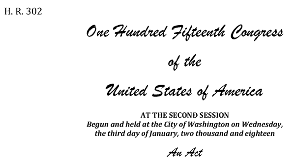
Geospatial Data Act Passes With Industry Support
The Geospatial Data Act of 2018 (GDA) was enacted on October 5, 2018, when the President signed it as a component of the Federal Aviation Administration (FAA) Reauthorization Act (H.R. 302).

QGIS Map Design, 2nd Edition
Updated to be used with QGIS 3.4, the second edition of QGIS Map Design is now available in its final version.

How to Populate a Cell with the ZIP Code Based on an Address in Google Sheets
You can set up a simple function in Google Sheets to be able to populate a separate column with ZIP code dat based on address data.

What Makes Maps Go Viral?
The study of viral geography could be a new, emerging field where researchers are now beginning to look at the elements that make a map viral.
GIS and Security Applications
The use of GIS in security software applications allows greater enhancements not just to monitoring but also planning and forecasting potential security threats, both from physical and cyber threats.
Mapping Elephant Distribution with Remote Sensing and GIS
A variety of applications using GIS, remote sensing and GPS tracking of individuals per collars have advanced in the last years and are increasingly used for mapping and tracking elephants.

Learn to Use GIS to Map and Analyze Surface Water Data
Esri Press recently published a book to teach users how to use GIS to analyze surface water using the National Hydrography Dataset produced by the USGS.
QGIS Tutorial: How to Change the Map Projection to be Centered Over the Pacific Ocean
This quick tutorial shows you how to recenter your map project in QGIS so that the center of the map view is on the Pacific Ocean.

Spatial Challenges of Navigating Rural Roads for Self-Driving Cars
Researchers from MIT are testing the use of GPS and LiDAR to enable autonomous navigation in rural areas lacking detailed 3D maps.
Department of the Interior is Considering Charging for Landsat Data
The Department of the Interior (DOI), which oversees the USGS, has tasked a federal advisory committee with exploring how instituting a fee for Landsat data might impact scientists and other users
Mapping How Birds Are Affected by Human Activity
GIS and spatial analysis have demonstrated the complexity of how anthropogenic disturbances could affect birds and bird habitats.

GIS Certification versus Certificate Programs
GIS certification and certificate programs are two similarly named yet different markers of a person's GIS education and skills achievements.

How to Add a Map from Mapbox to QGIS
This tutorial will show you how to take a map style you have created in Mapbox and load it into a QGIS session.