

We have become very accustomed to using global positioning system (GPS) or similar (e.g., Galileo in Europe) devices to the point where many of our day-to-day activities depend on using such devices.
While GPS has made navigation easier for many of us, we often assume that the location data received is very accurate and will always be there. In many circumstances, accuracy can still be an issue when satellite systems are obstructed or signals are blocked all together.
To improve accuracy and signaling, a new technique that depends on ground-based systems has been developed.

Global navigation satellite systems (GNSS) are not only common in our day-to-day use but they are also critical to infrastructure, including communication networks and emerging systems such as autonomous driving technologies that countries and companies are striving to increasingly develop.
Vulnerabilities of this system are not only based on the fact that satellite signals and communication can become obstructed, but GNSS does not have an effective backup if satellite communications are down.
Terrestrial networked position system (TNPS)
A recent study has proposed a new ground-based system to support or supplement GNSS. While there are existing ground-based or low orbit satellite systems that could potentially supplement GNSS, these systems depend on two-way communication and transmission that can be vulnerable to interference. Furthermore, other systems would require large-scale investment to make them truly global in scale.
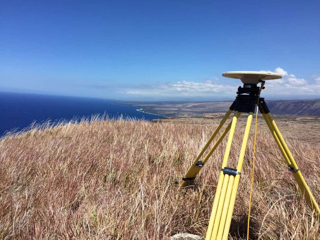
Terrestrial networked position system
A new proposed system, called terrestrial networked position system (TNPS), has been proposed as a potential alternative that can overcome weaknesses in previous systems and GNSS.
This system provides both centimeter or even decimeter-level accuracy, often reaching within 10 cm of true location, and subnanosecond time synchronization with devices using an atomic clock, helping to provide near real-time navigation data.
This new ground-based system uses programmable universal software radio peripherals with radio signals transmitted from stations.
Benefits of a terrestrial networked position system
The benefit of this system is it also addresses the interference and signaling problems often noticeable in urban settings, where obstruction and lost signals prevent accurate location.
The signals used have a bandwidth much larger than commonly used but, as bandwidth is scarce in the radio spectrum, the developed network also uses related small bandwidth radio signals spread over a large virtual bandwidth. This enables good data access as well as obtaining good signals in obstructed settings.
The system effectively utilizes optical and wireless transmission schemes that are comparable to current mobile communication networks.
The system, which can work independently of GNSS, could be used to supplement it as well, providing a backup to GPS or similar systems. The network could be deployed using comparable infrastructure to mobile networks, which could make the system feasible at a global scale.[1]
Inertial navigation systems
The development of TNPS is a potential breakthrough; however, for some time there has been research on navigating systems that are alternatives to GNSS-based devices and address some of the weaknesses of satellite-based navigation.
In particular, inertial navigation systems have gained some traction in recent years, particularly for autonomous or moving vehicles that depend on location data. These devices use a combination of motion sensors, rotation sensors, such as gyroscopes, and typically a computer to aid in navigation.
In effect, inertial-based systems have been around for a long period, that is since rockets had been developed from the period of World War II. These devices are typically made from inertial measuring units (IMUs). These allow measurements of rotation while gyroscopes help maintain angular measurements.
Soon after World War II, there were attempts to incorporate miniature computers to aid with calculation of true location for objects travelling, such as in rockets and jets.
Today, most IMU-based devices are used with GNSS-based systems, particularly as IMU-based devices often are not as accurate; however, there are attempts now to make them more independent given problems of navigation interference with GNSS such as in urban settings.[2]
GPSless navigation
Navigation that is independent of GPS and similar devices is still some way off. Many of us experience the frustration of losing a signal which prevents easy navigation. A
lternatives have been proposed but many could suffer from vulnerabilities or may require entirely new infrastructure. The proposed TNPS architecture could be a viable alternative provided this architecture could be easily deployed at a large scale using existing infrastructure rather than having to build new networks.
For now, IMU-based devices have been one alternative, although these can suffer from inaccuracy if measurements are not correct or GNSS that compliments them may not be available.
Attempts to build ever more accurate alternatives to GNSS that can also provide signalling information quickly will continue with TNPS perhaps offering one of the better promising potential technologies.
References
[1] For more on the new TNPS system developed, see: Koelemeij JCJ, Dun H, Diouf CEV, et al. (2022) A hybrid optical–wireless network for decimetre-level terrestrial positioning. Nature 611(7936): 473–478. DOI: 10.1038/s41586-022-05315-7.
[2] For more on inertial-based navigation devices and an example, see: Mikov A, Cloitre A and Prikhodko I (2021) Stereo-Vision-Aided Inertial Navigation for Automotive Applications. IEEE Sensors Letters 5(2): 1–4. DOI: 10.1109/LSENS.2021.3049503.