
GPS
The Past, Present, and Future of GNSS
The Global Navigation Satellite System (GNSS) has emerged as the standard navigation system that provides global positioning for devices we use every day.

Benefits of Satellite-Based Augmentation Systems
Satellite-Based augmentation system (SBAS) services provide capabilities to improve location data for global positioning system (GPS) devices.

Geospatial Technology and Challenges of Contemporary Agriculture
Farmers have greater access to geospatial tools that can help mitigate some agricultural challenges.

Can GPS Work on the Moon?
NASA researchers found that existing GPS satellites can provide navigational signals to the moon, aiding astronauts in future lunar missions.

Using GPS to Improve the Accuracy of Drone Mapping
By improving the precision of the GPS devices on UAVs, it is now possible to create much more accurate maps without needing to physically visit the area in order to ground truth.

Tracking Ocean Currents With Seabirds
A group of researchers wanted to test if drifting seabirds could offer a novel way of collecting data about sea current velocity and direction.

How Does GPS Technology Affect Our Understanding of Place?
How is an over reliance on GPS technology affecting our understanding and experience of place?

Tracking Post-Storm Water Movement Using GPS
NASA researchers recently published a study which uses GPS technology to track water volume and movement post-Harvey

Monitoring Livestock Using GIS
GIS and other geospatial technologies are being used to monitor livestock, understand the role that cattle play in climate change, and estimate biofuel.

Garmin Acquires DeLorme
Garmin announced the news on February 11, 2016 that it had signed a purchase agreement to acquire DeLorme.

The Prime Meridian isn’t Where You Think it is
The true Prime Meridian is located about 334 feet east of the current Airy Transit Circle at the Royal Observatory in Greenwich, England.

Why Do We Blindly Follow Our GPS?
Stories abound of people blindly following GPS directions, leading to the term "death by GPS". Why do people put so much faith in digital directions?
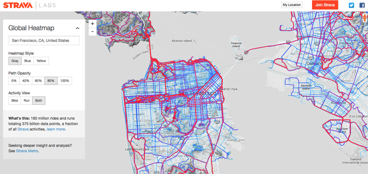
Creating a Global Heat Map from 41.5 Million Runs
Strava, a GPS running and biking application, recently released a detailed global heat map of popular routes across the globe. The map contains over 160 million activities with 375,000,000,000 data points.

Saying “I Love You” With GPS
Aspiring Romeos around the world have been employing their GPS tools in order to give a voice to their valentines.
Fun with GPS
A multitude of games and alternatives have emerged to capitalize on the affordability of handheld GPS units.

Tracking the Effects of Drought in the Western U.S. with GPS
The effects of the drought that has stricken the western United States can be measured with GPS. As anyone who ...

Crowdshipping: the Newest Development in Mobile GPS
Crowdshipping is the delivery of goods based on the selection of a courier closest to the delivery route. The service ...

GPS Pet Trackers
The three most popular pet tracking GPS systems are reviewed in this article: the PetTronix RoamEO, Garmin GTU 10, and Tagg Pet Tracker.

Saving Leatherback Turtles through Maps
Finding a balance between the needs of humans with those of the natural environment has always been a challenge. There ...
Open and Machine Readable Now the Default for Government Data
On May 9, 2013, President Barack Obama sign an executive order making the default for government data "open and machine readable". The executive order was accompanied by the White House's Open Data Policy.

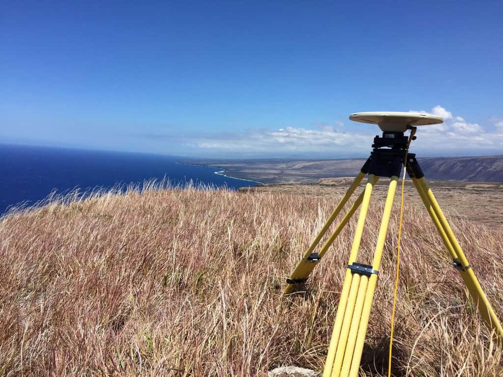
Global Navigation Satellite Systems
Few tools have helped change and improve data collection within the field of Geographic Information Systems (GIS) more than Global Positioning System (GPS).

Geocaching – High Tech Treasure Hunting
Geocaching is an outdoor recreational activity in which participants use GPS devices or smartphone apps to hide and seek containers, called "geocaches" or "caches", at specific locations marked by coordinates all over the world.
Utility Uses Trimble Technology to Develop Accurate GIS Database of Medium-Voltage (MV) Network
Guest article from Trimble. Home to more than 1.5 million people, Belgrade is the third largest and one of the ...
Goulburn Valley Water Improves Efficiency with Customized GPS Software
Guest article from Trimble. “To the left of the driveway behind the shed.” Imagine how long it takes to locate ...

Monitoring Conservation Easements and Preserve Lands with GPS and GIS Technology
Trimble discusses how they use GPS and GIS technologies to effectively manage and map over 8,000 acres of conservation land.