
With the relatively cheap price and increasing effectiveness of unmanned aerial vehicles (UAVs), often called drones, we are seeing much more accurate estimates and understanding of ecological change. This is very timely given the rapid pace of environmental change. GIS is also being used together in providing up-to-the-minute understanding of these spatial changes.
UAVs and Mapping Ecological Change
Studying ecological change has heavily depended on satellite-based remote sensing. This created three major disadvantages for ecologists, namely the lack of timely data, high cost, and cloud contamination.
The use of UAVs not only allows for rapid data acquisition and over many times of the year, but the high resolution cameras and sensors utilized allow a better connection between the structure and function of an ecological setting.
In effect, UAVs allow us to know how habitats are evolved and utilized by different organism of study, capturing much more dynamism than with previous data acquisition techniques.[1] Common applications have been to create composite images and digital surface elevation models, such as in a plant ecology surveys.[2]
A recent study compared ground-based terrestrial laser scanning and structure from motion UAV-derived data, a photogrammetric range imaging technique. The UAV technique was more superior at variable scales, including fine scale measurements, while it was also better able to capture structural variability in ecological data, particularly in dry environments.[3]
One study showed UAV data being accurate to a 20 mm level for capturing bacterial concentrations in Antarctica. In this case, GIS was used for spatial mapping by stitching the orthoreferenced imagery.[4]
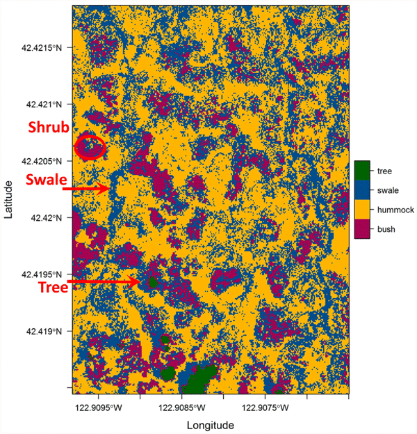
Multispectral imagery and Ecological Mapping
Multispectral imagery has also begun to be seen as an avenue forward for research. With multispectral cameras now increasingly mounted on UAVs, previous monitoring of plant data solely dependent on satellite imagery has transformed. This is evident even in agricultural areas where the monitoring of viniculture has allowed high resolution thermal imagery of water stressed areas to be identified to a high spatial resolution of around 10 cm for visible and near-infrared bands.[5]
Machine learning classification has also been utilized, such as support vector machines classifications, to classify these high resolution pixel values to identify invasive species such as Phragmites australis (common reed) in the Gulf of Mexico.[6]
Forestry and monitoring of other agriculture has, in fact, been of the primary beneficiaries of utilizing multispectral thermal sensors on UAVs.[7]

New techniques have also been developed to allow the creation of ground control points without having to physically collect these points. By mosaicking UAV images and, using high resolution imagery, ground control points can be accurately estimated to within 92 cm of their true location. This benefit, potentially, would allow many ecological projects to almost fully automate data acquisition without the need for costly fieldwork or data gathering missions simply by utilizing UAVs.[8]
We see that UAVs have transformed ecology into a subject with not only accurate imagery but that data can be gathered almost constantly. Challenges remain in greater use of other sensors outside of regular cameras or even thermal sensors. For instance, subsurface exploration using UAVs mounted with geophysical equipment could be another avenue of research and potential.
References
[1] For a good overview on how data acquisition in ecology has transformed due to UAVs, see: Anderson, K. & Gaston, K.J. (2013) Lightweight unmanned aerial vehicles will revolutionize spatial ecology. Frontiers in Ecology and the Environment. [Online] 11 (3), 138–146.
[2] For a recent article on a plant ecology survey, see: Cruzan, M.B., Weinstein, B.G., Grasty, M.R., Kohrn, B.F., et al. (2016) Small Unmanned Aerial Vehicles (Micro-Uavs, Drones) in Plant Ecology. Applications in Plant Sciences. [Online] 4 (9), 1600041.
[3] For more on comparisons between land-based and aerial measurements from UAVs, see: Olsoy, P.J., Shipley, L.A., Rachlow, J.L., Forbey, J.S., et al. (2017) Unmanned aerial systems measure structural habitat features for wildlife across multiple scales Sean McMahon (ed.). Methods in Ecology and Evolution. [Online] Available from: doi:10.1111/2041-210X.12919 [Accessed: 10 November 2017].
[4] For more on spatial mapping and accuracy of UAV imagery in the Antarctic, see: Bollard-Breen, B., Brooks, J.D., Jones, M.R.L., Robertson, J., et al. (2015) Application of an unmanned aerial vehicle in spatial mapping of terrestrial biology and human disturbance in the McMurdo Dry Valleys, East Antarctica. Polar Biology. [Online] 38 (4), 573–578.
[5] For more on using UAVs for viniculture monitoring, see: Baluja, J., Diago, M.P., Balda, P., Zorer, R., et al. (2012) Assessment of vineyard water status variability by thermal and multispectral imagery using an unmanned aerial vehicle (UAV). Irrigation Science. [Online] 30 (6), 511–522.
[6] For more on classification techniques using UAV data, see: Baluja, J., Diago, M.P., Balda, P., Zorer, R., et al. (2012) Assessment of vineyard water status variability by thermal and multispectral imagery using an unmanned aerial vehicle (UAV). Irrigation Science. [Online] 30 (6), 511–522.
[7] For more examples from forestry and agriculture in the use of UAVs, see: Šedina, J., Pavelka, K. & Raeva, P. (2017) UAV remote sensing capability for precision agriculture, forestry and small natural reservation monitoring. In: David P. Bannon (ed.). [Online]. 28 April 2017 p. 102130L.
[8] For more on the automated ground control point acquisition technique, see: Gotovac, Dunja, Stanko Krux017Eix0107, Sven Gotovac and Vladan Papix0107. “A model for automatic geomapping of aerial images mosaic acquired by UAV.” 2017 2nd International Multidisciplinary Conference on Computer and Energy Science (SpliTech) (2017): 1-6.