
With so many public agencies, particularly in the United States, relying almost exclusively on Esri’s proprietary GIS software, it’s not uncommon to find geographic data packaged or compressed in formats designed for ArcGIS.
For QGIS users, an MPKX file presents a problem: QGIS can’t open a map package directly. Fortunately there is a simple way to extract the data and use it in QGIS.
What is an MPKX file?
An MPKX file is a map package created using Esri’s ArcGIS Pro software. It is a compressed file that bundles a map and its associated geographic data into a single file for sharing with other users.
An MPKX file can contain:
- Map information: The settings that determine how the map appears in ArcGIS Pro, including its layers, colors, symbols, labels, and map extent.
- Geographic data: The datasets used to create the map, such as roads, property boundaries, rivers, aerial imagery, and elevation data. These datasets include their attribute data, the descriptive information tied to each feature, such as road names, parcel numbers, or land use classifications.
Although QGIS cannot open an MPKX file directly as a complete map, it can read many of the geographic datasets stored inside the package. The key is to extract those datasets from the MPKX file first.
Extracting GIS data from an MPKX file
An MPKX file is a compressed archive, so it’s a quick two-step process to extract its contents.
- Rename the file extension from .mpkx to .zip.
- Double-click the ZIP file to extract its contents.
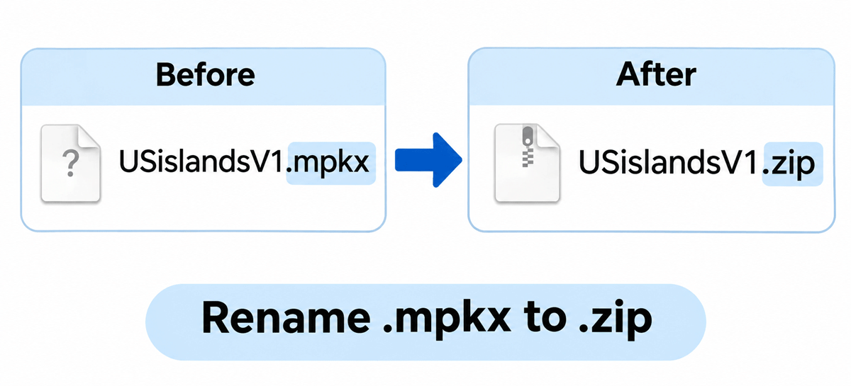
If the ZIP file won’t open
On some computers, the renamed ZIP file will throw an error or appear empty. If that happens, use a free archive program to open the map package instead. You don’t need to rename the file for this method.
On Windows:
- Download and install 7-Zip from 7-zip.org.
- Right-click the .mpkx file. On Windows 11, select “Show more options” first.
- Select 7-Zip, then “Extract to” followed by the file name.
On a Mac, install The Unarchiver or Keka, then right-click the .mpkx file and choose that program under “Open With.”
Opening the GIS data in QGIS
Once the MPKX file is extracted, look for a folder ending in .gdb. This is an Esri file geodatabase containing geographic data that QGIS can read.
Drag and drop the .gdb folder directly into QGIS, or use the Browser panel to navigate to it. QGIS will display the available GIS layers, which you can add to your map and work with as you would any other geographic dataset.
What files are not compatible with QGIS
The extracted package may also contain other files, such as a .mapx file that stores the map definition, including its layers, symbology, labeling, and other display settings. These files are specific to ArcGIS Pro and cannot be directly opened in QGIS.
This method provides access to the underlying geographic data, but not the original ArcGIS Pro map. The map’s proprietary symbology, labeling, and other display settings are not transferred to QGIS and will need to be recreated.
