
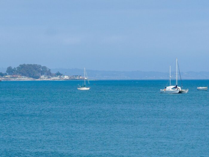
While land use maps clearly show cities, roads, and other infrastructure, human activities in the oceans are often less visible. The world’s oceans can appear as vast expanses of empty blue on a map, masking the growing scale of industrial activity taking place at sea.
Whether it is fishing, shipping, energy production, or resource extraction, we do not have a clear picture of the full extent of human activity occurring in the oceans. Now, using the power of AI, we have a way to better understand this diverse set of activity affecting our oceans.[1]
Mapping reveals the acceleration of human activity in the world’s oceans

A study published in Nature found that ocean-based industries now account for about $1.5 trillion in economic activity, a figure projected to double by 2030. Using satellite imagery, GPS, and artificial intelligence, researchers created a map documenting the various types of human activities occurring across the world’s oceans.
Using GPS and remote sensing to detect non-public ship activity
Much of this activity is not publicly disclosed, making it difficult to assess the extent of human impacts on marine ecosystems. Satellite data, including dual-polarization synthetic-aperture radar (SAR) and optical (red, green, blue and near-infrared (NIR)) imagery from Sentinel 2, can be used to detect individual vessels, which can then be matched to the automatic identification system (AIS) GPS data provided from vessels. Deep neural networks can improve vessel detection and classification, helping researchers distinguish between different types of ocean vessels.

Study: 63,000 vessels are present in the oceans at any given time
Between 2017-2021, over 53 billion vessel GPS points were monitored, with on average 63,000 vessels present in our oceans at any one time. In total, this analysis included 67 million image tiles. Overall, 72–76% of industrial fishing vessels are not tracked with available GPS data, particularly in South Asia, Southeast Asia, and parts of Africa. Transport and vessels carrying various forms of energy (e.g., oil) are not evident in GPS databases at a rate between 21-30%.
During the 2020 pandemic, fishing activities decreased and have not yet returned to their pre-pandemic levels, marking a decline in overall human activity in this sector. In contrast, the use of vessels for transport and energy has not seen a reduction.
Offshore wind turbine development has rapidly expanded
Notably, one of the most rapidly expanding areas of human activity is the construction of offshore wind turbines, which now exceeds the presence of oil structures in our oceans.[2] Areas of particular concentration of infrastructure built offshore can be found in Northern Europe, East Asia, particularly around China, northern South America, Western Africa, and the Persian Gulf. These areas reflect either a high number of oil infrastructure built or wind turbines.
China increased its offshore wind turbine infrastructure by 900% between 2017 and 2021. In Europe, the UK and Germany lead development of wind turbines, with 49% and 28% increase in production, respectively between 2017-2021. In relation to fishing, trawlers are the most common vessels captured in the data. Most fishing vessels are less than 50 m in length, follow continental shelf breaks and seabed canyons, and stay close to shore mostly because of the methods of fishing they use.
Using geospatial technologies to assess the impact of human activities in the oceans
The key result of this work is not only that we can now better map the range of activities using the various satellite, GPS, and AI-based methods, but we can also determine what the impact of these activities might be. For instance, one can take the data and determine potential carbon emissions from vessels or the impact fishing has on various areas where high concentrations of fish could be found. This also demonstrates the need for better monitoring of ocean activity if we are to understand its environmental impacts.
Past attempts to map human impact on the oceans similarly showed increasing human activity affecting almost every region of the globe by 2008. The poles, at that time, were among the few areas not as severely impacted by human activity. With the newer approach, more accurate and detailed maps can now be produced, whereas previous efforts could at best map at a resolution of 1 km2.[3]
As human activities in our oceans continue to grow, there is an ongoing need for regularly updated maps to monitor these changes. Some of that activity may benefit us, particularly in energy production such as wind turbines. However, unmonitored fishing or oil infrastructure could do enormous damage to ecosystems, including trawlers that fish at the bottom of ocean floors or oil vessels leaking oil. Understanding the impact of these activities requires the use of diverse datasets and techniques.
As industrial activity continues to expand across the world’s oceans, regularly updated maps will be essential for understanding its environmental impacts and informing future conservation and management decisions.
References
[1] A public article discussing how AI, satellite imagery, and GPS tracking data can be used to understand ocean activity can be found here: https://theconversation.com/we-used-ai-and-satellite-imagery-to-map-ocean-activities-that-take-place-out-of-sight-including-fishing-shipping-and-energy-development-219367.
[2] Research discussing the results and impact of our ocean activity based the satellite, GPS, and AI-based approach can be found here: Paolo, F., Kroodsma, D., Raynor, J. et al. Satellite mapping reveals extensive industrial activity at sea. Nature 625, 85–91 (2024). https://doi.org/10.1038/s41586-023-06825-8.
[3] For more on an earlier approach that mapped human activity across our oceans, see: Halpern, B.S., Walbridge, S., Selkoe, K.A., Kappel, C.V., Micheli, F., D’Agrosa, C., Bruno, J.F., Casey, K.S., Ebert, C., Fox, H.E., Fujita, R., Heinemann, D., Lenihan, H.S., Madin, E.M.P., Perry, M.T., Selig, E.R., Spalding, M., Steneck, R., Watson, R., 2008. A Global Map of Human Impact on Marine Ecosystems. Science 319, 948–952. https://doi.org/10.1126/science.1149345.