
open source GIS
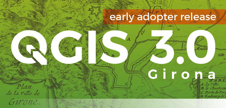
QGIS 3.0 Released
Version 3.0 of QGIS, the popular free and open source GIS software, was released today.

How to Add a Map from Mapbox to QGIS
This tutorial will show you how to take a map style you have created in Mapbox and load it into a QGIS session.

How to Geocode Addresses Using QGIS
If you have a CSV formatted file containing addresses, you can take advantage of QGIS to map out those addresses. This article contains step by step instructions for geocoding addresses using QGIS.

Where is Open Source GIS Going?
Mark Altaweel discusses the growth and direction of open source GIS tools and software in this opinion piece.

Dress Up Your QGIS Install With this Whimsical Plugin
The QGIS hats plugin is a bit of fun that accomplishes no other purpose than to add a hat to the QGIS icon.

Using R with GIS Software
With the utility of R, many popular statistical procedures and more advanced analyses, including a variety of simulation applications, can be applied directly within GIS tools such as QGIS.
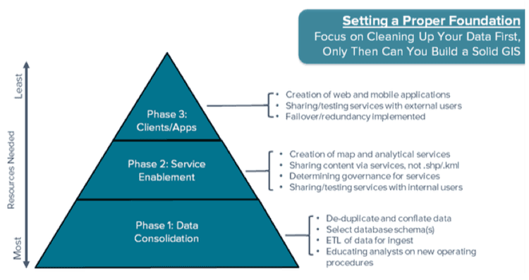
Harness the Power of Open Source GIS with a Hybrid Architecture
Anthony Calamito, Chief Evangelist at open source GIS company, Boundless, explores how companies can harness the power of their open source GIS systems.

GIS and Visualizing Atmospheric Science Data
The use of new data models has allowed more traditional GIS data models to be integrated with those used in atmospheric science.

How to Make the Most of QGIS
To get the most out of QGIS it’s not enough to simply know how to write the lines of code you need, and how to integrate with other exciting tools but rather, the more control you have over a tool like QGIS, the more you’ll be able to visualize and explore your ideas.
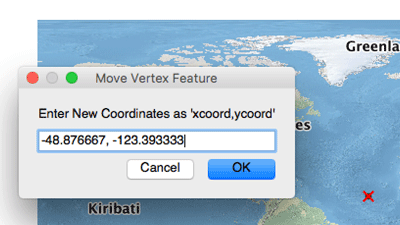
How to Map a Single Set of Coordinates Using QGIS
Here are the steps you need to follow if you want to map a single set of coordinates with QGIS.
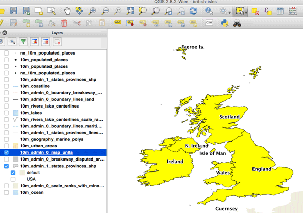
How to Convert a Selection into a New GIS Dataset Using QGIS
Here is a step-by-step tutorial on how to convert a geographic selection from one GIS dataset into a new GIS file using QGIS.

GIS and NoSQL Databases
Relational databases present some limitations to scaling, preventing or limiting the applicability of big data and real-time data problems utilized within GIS. More and more GIS software companies and developers are adopting NoSQL formats where data retrieval is generally faster and easier to structure. NoSQL also facilitates analysis and integration within a variety of tools, which is why open source GIS has proven to be the most useful arena for NoSQL databases.

Agent-Based Modeling and GIS
The need to understand emergent phenomenon in a variety of fields has led to not only greater use of agent-based models (ABMs), but we are increasingly seeing tools that integrate GIS with ABMs.

Take Map Design to the Next Level with QGIS
QGIS Map Design provides step-by-step instructions covering both basic styling and labeling and advanced cartographic techniques such as illuminated contours and dynamic masking.

Open Source Big Spatial Data with GeoMesa
Bob DuCharme, a technical writer with CCRi, writes about how open source GeoMesa can help users with managing large spatio-temporal datasets. GeoMesa can stored petabytes of GIS data and serve up tens of millions of points in seconds.

A Web Mapping Tutorial for Beginners
This tutorial by Ardit Sulce guides users through how to create a web map using QGIS.
Transit Explorer: Mapping all of North America’s Transit Routes
Transit Explorer is a mapping application that visualizes current, planned, and proposed transit routes across Canada, the United States, and Mexico.

Mapping County Demographic Data in R
Learn how to map US County demographic data in R in this article by Ari Lamstein.

Creating Dynamic Maps in QGIS Using Python: QGIS Python Programming CookBook
Learn how to use Python to create dynamic maps in QGIS with this free preview chapter of QGIS Python Programming CookBook. With ...

Tools: QGIS Python Programming CookBook
Learn how to work with map tools in QGIS using Python from this section as part of this preview chapter, Creating Dynamic Maps from QGIS Python Programming CookBook.
Labeling and Map Transparency: QGIS Python Programming CookBook
Learn how to label features and set map transparency in QGIS using Python from this section as part of this preview chapter, Creating Dynamic Maps from QGIS Python Programming CookBook.

Adding Real-Time Weather Data from OpenWeatherMap: QGIS Python Programming CookBook
Learn how to add real-time weather data from OpenWeatherMap in QGIS using Python from this section as part of this preview chapter, Creating Dynamic Maps from QGIS Python Programming CookBook.
Bing Aerial Image Service: QGIS Python Programming CookBook
Learn how to use the Bing Aerial Image Service in QGIS using Python from this section as part of this preview chapter, Creating Dynamic Maps from QGIS Python Programming CookBook.
Using the OpenStreetMap Service: QGIS Python Programming CookBook
Learn how to use the OpenStreetMap Service in QGIS using Python from this section as part of this preview chapter, Creating Dynamic Maps from QGIS Python Programming CookBook.

Layer Symbols: QGIS Python Programming CookBook
Learn how to symbolize layers using SVG and pie charts in QGIS using Python from this section as part of this preview chapter, Creating Dynamic Maps from QGIS Python Programming CookBook.
Scale and Layer Visibility: QGIS Python Programming Cookbook
Learn how to set up scale-dependent layer visibility in QGIS using programming from this section as part of this preview chapter, Creating Dynamic Maps from QGIS Python Programming CookBook.