
remote sensing

Verifying Ancient Roman History with GIS
Tom Whitley, an Assistant Professor of Archaeology at the University of Western Australia (UWA), used GIS to test population estimates and patterns of migration and war to see how the historical aspects known about the Gallic Wars measures up to geophysical evidence.

Remotely Tracking Growth of the Sugarcane Industry in São Paulo, Brazil
The use of remote sensing technologies to track the development of the sugarcane industry is a topic of much attention

ASTER and the Spectral Recipe for Finding Gold
In the last section of this series, we took a look at both the ASTER sensor and the vast library of ...

The ASTER Spectral Library – a True Monument of Remote Sensing Data
In the first part of this series, Cameron Windham from Apollo Mapping takes a look at the nuts and bolts of the widely-used ASTER Spectral Library.

Imagery and Its Use in GIS
Most imagery for use in GIS projects consist of satellite images or aerial photographs but it can also include, thermal images, digital elevation models (DEMs), scanned maps and land classification maps. This article examines imagery and how to effectively gather, store, process and interpret it for a variety of different GIS projects.

The Rainforest Magician – Optical Illusions and the Spectra of the Canopy
The findings of a recent paper published in Nature found a sun-sensor geometry arrangement was the cause for historically high readings of green-ness in the rainforest canopy.

Satellites Show the Thinning of Alaskan Ice
In general, climate change is a term that refers to the significant transformations in global weather patterns over an extended ...

Tracking Whales with Satellite Imagery
Researchers with the British Antarctic Survey have developed a methodology to use unsupervised classification to remotely identify and count right whale populations using Very High Resolution (VHR) satellite imagery.

Shadows and Angles: Measuring Object Heights from Satellite Imagery
Because of the wonderful metadata that comes with satellite images, shadows can be employed to estimate the height of the objects which cast them.

LiDAR and the Archaeology Revolution
Through the use of LiDAR, archaeologists are now able to uncover more of the ‘lost’ New England of subsistence farming from the 1700s.
Managing Africa’s Water from Space
Water is a vital component for human life, and one of the major problems facing the continent of Africa is ...

GOCE Gravity Mapping Mission Has Ended
GOCE, which stands The Gravity field and steady-state Ocean Circulation Explorer was launched with the purpose of mapping the Earth's gravity field at a high level of detail.
Using Remote Sensing to Combat Poverty
Remote sensing, the practice of gathering information about objects without being physically near them, has had many practical uses for ...

Mapping the Salinity of the Ocean
The European Space Agency (ESA) and the National Aeronautics and Space Administration (NASA) are mapping the salinity of the ocean to understand how the ocean helps recycle of our planet’s water resources and our climate.
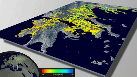
Using Remote Sensing to Measure Land Deformation
The European Space Agency has developed a new land data processor to create maps of land deformation. Called Wide Area Processor ...

GIS and Natural Resource Management
Peter Rodericks Oisebe, a Natural Resource Management Consultant in Kenya writes about the applications of GIS in mapping and managing natural areas.

Geospatial Technologies in Precision Agriculture
Discoveries in the field of science and technology have enabled farmers to effectively use their input to maximize their yield.

Using Unmanned Aerial Systems (UAS) for Remote Sensing of Archaeological Sites
Unmanned vehicles are becoming more widely available both in the military and civilian sectors for their usefulness for remotely acquiring ...

Understanding the Earth’s Gravity with ESA’s Swarm Satellites
The European Space Agency will be launching three satellites next year with the objective of studying the earth's gravity.
Detecting Surface Change and Avalanche Mapping
Due to the precise measurements take can be taking from InSAR, changes in land movements can be detected as small as a few millimeters.
Finding Lost Pyramids with Satellite Imagery
An Egyptologist analyzed satellite imagery to identify over 17 pyramids, 1,000 tombs, and 3,000 ancient settlements previously unknown.

Using GIS to Pinpoint Osama bin Laden
A UCLA report revealed the results of a GIS study on emphasizing the likely location of Osama bin Laden.