
remote sensing

Using Remote Sensing to Map Rice Paddy Drop in the Mekong Delta
Satellites including Europe’s Sentinel-1A can now track the rise and fall of different agricultural products around the world. The satellite’s imagery showed that rice production in the Mekong Delta has decreased in the past year.

Using Landsat Imagery to Find Shipwrecks
Satellite imagery from Landsat 8 has been used by a Belgian marine research institute to detect shallow water shipwrecks. Satellite imagery from Landsat 8 can detect the concentration of sand and silt particles in the ocean, which can then be used to pinpoint a potential shipwreck location.

Developing Earthquake Damage Maps from Satellite Imagery
Researchers are working on developing remotely sensed maps that may assist locals in assessing damage and managing the aftermath with future earthquakes.

Using Remote Sensing to Count Trees
Tree count management using remote sensing techniques is important for sustaining conservational stability and ecological biodiversity.

Cloud Computing Used to Analyze Landsat Imagery and Detect Deforestation
Landsat, NASA’s longest running initiative for the acquisition of Earth imagery, has generated nearly 50 trillion pixels of data by capturing one image per season, of every place on Earth, for the past 43 years, providing a treasure trove of data for researchers.
Researchers: Satellite Imagery Could Boost Wildlife Conservation
An increased number of scientists, conservationists and technology scions are banding together to use their various strengths to benefit conservation efforts to track global biodiversity.

Five Applications of Satellite Data
To illustrate the benefits, here are five uses of satellite imagery and data.

Orbital Insight Shows How Artificial Intelligence (AI) Can Be Used to Study Images from Space
Orbital Insights has developed a “deep learning” processes which uses artificial intelligence to pull data from satellite imagery.

Satellite Imagery Provides Insights to Global Questions and Changes the Data Landscape
Data extracted from satellite images have been helpful for tracking everything from the number of customers at retail and restaurant chains to tracking the rates of deforestation.
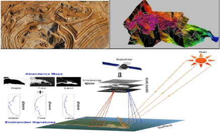
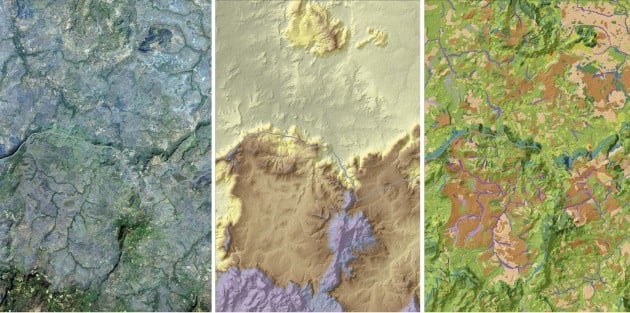
A Brief Introduction to Photogrammetry and Remote Sensing
The following is a brief introduction to photogrammetry and remote sensing for those who are new with the technology, written by Anil Narendran Pillai, Vice President – Geomatics at SBL.

First Satellite Images from Sentinel-2 Delivered
Four days after its launch, the first images from Sentinel-2 have been delivered. Covering an area from central Europe and the ...

Landsat 8 Data Users Handbook
Launched in 2013 by NASA, Landsat 8 is the latest satellite in the series. The mission of the orbiting satellite is ...

Using Satellite Imagery to Track the Ocean’s Acidity
The Earth’s oceans play a vital role in the health of the planet. ocean dynamics impact weather patterns, it provides ...

Using Geospatial Technologies to Save the World’s Peatlands
Rezatec has developed “Peat spotter”, a service that uses Earth Observation imagery to locate and create initial mappings of peatlands. This information is enriched with ground data collected by field agents using handheld devices.

A Case Study in Environmental GIS: Light Pollution Mapping
Geospatial consultant Marcus Hinds uses remote sensing and environmental GIS methodologies to study light pollution in the Greater Toronto Area in Canada.

Finding Fossils with Remote Sensing
In the field of paleontology, finding fossils is often a substantial undertaking. Researchers usually have to assemble crews of up ...

Smart Tree Logging with Remote Sensing
Treemetrics is using satellite imagery, UAV, and LiDAR to help forestry managers to map out forests in order to better assess the quality and value of their forests and to cut down on waste.

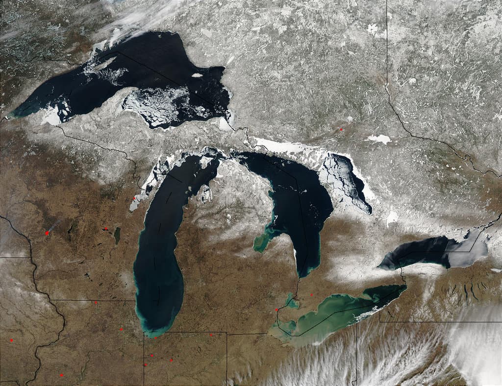
CryoSat Shows Record Loss of Polar Ice
Scientists concerned about climate change are closely monitoring the thickness of polar sea ice. For many years, ice cover has ...
GLOWABO – Remotely Sensed Inventory of the World’s Lakes
A team of researchers used remote sensing techniques to calculate the number of lakes in the world.

Measuring Small Variations in the Earth’s Gravity
The NASA–German Grace satellites were launched in May of 2002 in order to map variations in Earth's gravity field.

Measuring Carbon Dioxide and Nitrogen Dioxide Trends with Remote Sensing
Researchers from the University of Bremen published in Nature Geoscience the results of an effort to implement a top-down approach using data acquired remotely.

Mapping Global Carbon Dioxide Emissions
Researchers recently published the results of developing a system for measuring global carbon dioxide (CO2) emissions in the Journal of Geophysical ...

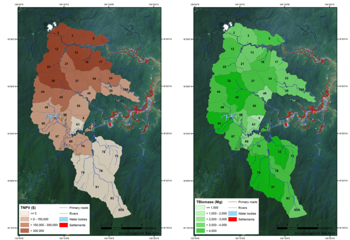
Using Unmanned Aircraft to Help Map Threatened Plant Species
Geography researchers at Central Michigan University have tested out the usability of UAVs in mapping out threatened plant species.

Using Remote Sensing to Measure the Effect of Drought on Ground Water
This map shows a comparison of modeled relative amount of water stored in underground aquifers in the continental United States for July 7, 2014 as compared to the average for comparable weeks for the sixty year average water storage.
Evaluating Ecosystems from Space
The ESA has launched their Space for Ecosystem project in order to more accurately evaluate the benefits of a natural resource.

Mapping Soil Moisture from Space
Soil moisture might not be considered a critical factor to the health of our planet but a series of satellite ...