
urban geography
The Gray-Green Urban Divide: How Wealth and Poverty are Visible from Space
Known as the "gray-green divide”, the amount of trees and green space can be an indicator of the income level of the neighborhood.

Cities are Changing Cloud Formations
Researchers looked at cloud patterns over urban areas for 447 cities in the United States using satellite imagery.

The Growth of Crows in Cities
Since the 1960s, more and more crows have been abandoning their rural winter roosts in favor of cities and towns.

Review | The Eternal City: A History of Rome in Maps
When you finish this delight of a book, you feel that the history of the mapping of Rome can stand as the very paradigm of the history of pre-digital cartography itself.

Which Countries Have No Airport?
How many countries in the world have no airports? There are five countries, all located in Europe, out of the 196 countries in the world that have no airports located within their borders.

Biodiversity and Climate Change Adaptation
Many cities globally are forging ahead with climate change adaptation.

How New York City is Protecting Its Subway System Against Flooding
A flex-gate is a highly flexible covering that can be quickly deployed to protect a subway's entrance and underground structures in the event of a flood.

Africa’s First Vertical Urban Forest
Vertical forests are buildings that integrate natural resources like trees, shrubs, and food-producing plants into spaces that can also be used as housing or offices.

The Geography of Borrowing Size
Towns can 'borrow size' from nearby urban areas, enhancing their economic prospects and resilience by leveraging networks with larger towns.

Urbanization Makes the Surrounding Atmosphere Drier
Researchers in southern China have analyzed the impact of urbanization on local climates, known as the urban dry island (UDI) effects.

With Only Numbers and No Street Names, This Norwegian Town is Confusing Tourists
A Norwegian municipality decided to only give the chalets in a development numbers with no corresponding street names.
What is Necrotecture?
Necrotecture is an urban planning coined termed by Rowland Atkinson to describe the "dead residential space" created by a high density of mostly vacant residential dwellings.

Will Self-Driving Cars Make Traffic Worse?
The World Economic Forum and Boston Consulting Group studied the possible effects of autonomous vehicles on Boston's future traffic.

Review | The Nocturnal City
Robert Shaw's newly published book, The Nocturnal City, is an effort to delve into the city at night which is a “very different time-space from day.”
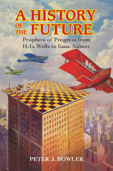
Review | A History of the Future
The History of Future presents a survey of the history of futuristic predictions from the nineteenth century on through the first two-thirds of the twentieth, in the English-speaking world

Visualizing the Impact of Gentrification
Graphic designer Herwig Scherabon has developed a book visualizing the impacts of gentrification in a number of cities in the United States and United Kingdom. Combining public access data and research with crisp visuals, Scherabon illustrates the spatial distribution of gentrification and examines the different issues at play.

Defining Urban Sprawl
The urban sprawl concept caused researchers to dive into figuring out what city in the world is the biggest based on the size of its urban sprawl.

Using Green Space to Reduce Water Pollution
Researchers have used satellite data to analyze images for areas that should be protected as green spaces which in turn help protect Atlanta’s water supply.

How the Commutes of 130 Million Commuters Reveals Megaregions in the United States
A study using data from 130 million commuters has revealed commuter-driven megaregions in the United States.

Geography of Microbiomes
Researchers have determined that geography seems to be the most influential factor in determining what kinds of microbial life would be found in a variety of local office settings.

Mapping the Consequences of American Urbanization and Stream Burial
A study has found that much of the area of urban America particularly in the Great Lakes region (8.3% of urban area), the Arizona Sun Corridor (7.1%), and Northern California (10.9%) but elsewhere all over the United States (6.2% total) are “urban stream deserts” in which a city is “riverless... due to the effects of human development and population growth”.

What Makes a Vibrant City? Lessons from Data Mining
Researchers in Italy used a collaborative mapping tool, census data, land use data, and mobile phone data to compile information about the movement, interactions and life of an urban area.

Where the US Streets Have No Names
Numerical numbering systems, or numbering streets in specific orders, is one way some cities have taking the pain out of navigation. A comprehensive analysis of streets in the US found that half of the cities here prefer to have their streets numbered rather than named.

Transcontinental Cities
A transcontinental city is a city that exists on land over more than one continent. There are more than a few transcontinental cities in the world. Learn about cities that straddle continental divides.

Atlas of Urban Geography from the 16th Century Reissued
The earliest atlas of cities, Civitates Orbis Terrarium (or Cities of the World) captured a time of incredible urban development and cartographic innovation.

Earthquake Time Bombs
In his new book, Earthquake Time Bombs, Yeats discusses the world’s most dangerous earthquake hotspots, the communities at risk, and how the public can mitigate the effects of future disasters.