
Articles
Urban Heat Island Analysis
Remote sensing methods are being used to monitor thermal radiation in European cities. Hardscape surfaces such as roof tops and ...

Data for the People, by the People: Designing Smartphone-based GISystems for Environmental Resource Assessment
This article highlights two stand-alone software platforms for building smartphone-based participatory GIS systems, emphasizing each platform's unique benefits.
Conservation Biology and GIS
Conservation biologists have come to recognize the importance of GIS in their discipline. Geographic Information Systems (GIS) have become a ...
How to Go from GIS Novice to Pro without Spending a Dime
I have only taken one formal course in GIS; however, I consider myself a confident practitioner of the software and ...
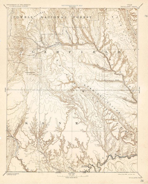
Over 120 Years of Mapping History Online
The USGS Historical Topographic Map Collection currently makes over 98,000 maps dating as far back as 1884 available to the public.

Ten Things to Consider When Making a Map
Here are ten common considerations that all cartographers should incorporate as part of their map making process.
Geofencing
With all the location-based social media applications out there, it’s only logical that, in addition to being able to restrict ...
Geostationary
Geostationary satellites maintain a stationary position relative to the earth.
Using Location-Based Services to Build a Social Network
Avoiding the Google-Apple-Facebook Trap: How Enterprises Can Provide Their Own Mobile Solutions – a whitepaper by Dr. Alexander Koeppen and Michael ...
GIS in Imagery: 2011 Esri UC
The 2011 Esri International User Conference brought over 14,000 attendees to San Diego again this year under the theme “Understanding ...
More from the 2011 Esri UC
The videos from the 2011 Esri UC Plenary session have now been posted online. The three part videos cover an overview ...
ArcGIS on the Cheap
If you’ve been wanting to get into using ArcGIS but can’t afford the commercial price tag, Esri is offering a ...
Ice Thickness and Ocean Maps
Two new datasets have been announced. The ESA unveiled its new ice thickness map at the Paris Air and Space Show. ...

Seeing Philadelphia’s Past in Augmented Reality
Guest article by Deborah Boyer and Andrew Thompson. For over 140 years, the City of Philadelphia has been taking pictures ...
Satellite Data on Ocean Waves
The GlobWave project from the European Space Agency consolidates data on ocean waves from 11 different satellite instruments that have been ...

Six Famous Geographers
A look at six of the world's most famous geographers: Eratosthenes, Al Idrisi, Alexander von Humboldt, Immanuel Kant, Carl Ritter, and Arnaldo Faustini.
Every Tree Counts: Using PhillyTreeMap for Collaborative Urban Forestry
Philadelphia, like many American cities, has a wealth of urban trees. Collectively known as the “urban forest,” these are the ...
Maptivism
Maptivism can be defined as the use of maps to promote a cause. All maps tell a story and the ...
Finding Lost Pyramids with Satellite Imagery
An Egyptologist analyzed satellite imagery to identify over 17 pyramids, 1,000 tombs, and 3,000 ancient settlements previously unknown.
Tracking Ash Plumes
Data pulled from several satellites has been put to use in understanding the behavior of ash plumes from the recent ...

Making Color Blind Friendly Maps
It’s estimated that about 7% of males are color blind in some form (as compared with 0.4% of females). ...

The National Map: Using the National Geospatial Program
The National Map Viewer is a browser-based utility that allows map makers to create and download their own maps based on data layers that they apply to a base map of the United States.
Crime Mapping and the Los Angeles Police
The Los Angeles Police Department’s attempts at providing public mapping has not been without its issues and embarrassments. Chronicled here ...
GIS in Photos: Santa Clarita
Serving the geospatial needs of an entire city keeps the GIS group at the City of Santa Clarita busy. From ...
Geomarketing for the Retail Industry
This guest submission by Michael Fabing from the company Mapfusion, a web-software company specialized in GIS mapping and geomarketing. Geomarketing and Geocoding ...

Using GIS to Pinpoint Osama bin Laden
A UCLA report revealed the results of a GIS study on emphasizing the likely location of Osama bin Laden.