
Articles
What is Ethno Mapping?
Maps aren’t just intended for navigation. Though most people think of maps in terms of what kind of physical land ...

Google Ancient Places: Exploring the Geography of Ancient Places in Text
GapVis (Google Ancient Places Visualization) allows readers the ability to geographically explore text covering ancient places. The endeavor is backed ...

TileMill: Open Source Mapping Now for Windows
TileMill can now be used natively in Windows with the latest release. The release of TileMill 0.9.0 also includes a new plugin system: “TileMill ...

Analysis Finds Three Times More Farmers’ Markets in Areas with the Lowest Obesity Rates
An independent analysis conducted by mapping analytics firm PetersonGIS shows that locations with the highest obesity rates contain the fewest farmers’ markets.

Where to Look for Historical Maps
The use of extracting data from old paper maps is growing in popularity as a method to understanding historical geography. ...

WorldMap: An Open Source Software Platform
Harvard’s Center for Geographic Analysis recently released WorldMap, an open source mapping application designed to make it easier for researchers to upload ...

Wind and GIS
GIS has many applications in wind mapping, analysis and modeling. Geographic data and modeling of wind performance can help site ...
GIS Industry Trends and Outlook
GIS industry trends gain be gleaned by surveys and other reports produced by market research companies. While most of these ...

New Baby Island in the Zubair Islands
A new island has been added to the Zubair Islands off the Yemeni coast as a result of volcanic activity that erupted on December 19, 2011.

National Forest Map and GIS Data
Josef Kellndorfer and Wayne Walker of the Woods Hole Research Center (WHRC) worked with the USGS and the US Forest Service over a six year period to create this forest map of the United States.
Caribbean Islands: the Greater Antilles
A Look at the geography of the Greater Antilles By looking at a map of the Caribbean we can easily ...
Essential Geography of the United States Mapped
Dave Imus is a well known cartographer who has specialized in highly detailed, hand annotated maps covering the United States. ...

How Archaeologists and Geomorphologists Can Work Together to Understand the Quaternary
Archaeologists and geomorphologists are some of the best suited professions for interdisciplinary research into the Late Quaternary period.

Ice Mapping App for Smartphones
The European Space Agency has released a new iOS app for accessing ice data from the ESA's CryoSat mission.
Mapping Air Pollution
Pulling real time data from the city government of Madrid, Into the Air is a project led by Nerea Calvillo (along with ...
How Human Actions Change the Physical Environment
Human actions can have a profound impact on the environment and topography of an area.
Open MapQuest
Google’s recent enforcement of Google Maps API usage, resulting in charges for those exceeding the stated free usage quotas, has ...

Historical Geography and GIS
Historical GIS is the use of GIS data to document the given geography of an area in history. GIS can ...
Metadata
What is metadata and why is it important to document GIS data? Metadata is an important, but unfortunately oft overlooked component of GIS data. Metadata is 'data about the data' and it's vital to understanding to source, currency, scale, and appropriateness of using GIS data.
Basemaps Defined
What is a basemap? The term basemap is see often in GIS and refers to a collection of GIS data ...

GIS on the Mac
One of the most popular options for running GIS software directly within the Macintosh OS environment is QGIS.
Best of GIS: Notable 2011 Geospatial Happenings
It’s been a very long time since I’ve done a “best of GIS” year end review. Listed below are ...
Sample Esri Technical Exam Questions
Esri is now offering sample questions for Esri’s ArcGIS Desktop Exams. The sample questions are accessible from Esri’s Training page. ...
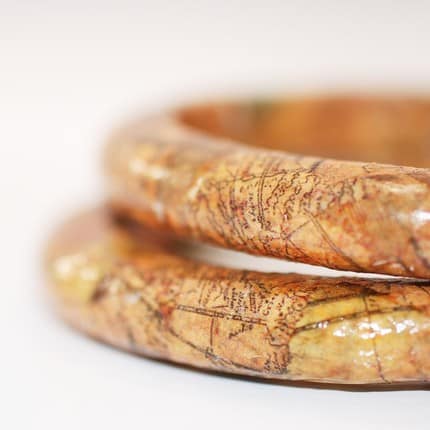
Unique Geography Themed Gifts
If you're looking for Geography themed presents that go beyond atlases, books, and GPS related products, there are some fun and creative options out there.

A Look at Some Map Projections
The Robinson, Transverse Mercator, Lambert Conformal Conic, and Space Oblique Mercator projections are discussed in this article.

Ancient Pluvial Lakes of North America and What They Can Tell Us about Climate Change
Datasets of paleoenvironmental variability contained in a variety of pluvial lakes is a treasure-trove of past climate conditions.