
Caitlin Dempsey

Visualizing American Migration Without a Map
As a cartographer, the display of spatial information is of great interest to me. I’ve been particularly intrigued by analysts ...

Anita Graser | Profiles from the Geospatial Community
Anita Graser, a prominent figure in open source GIS, authored "Learning QGIS 2.0". She shares insights on her GIS journey and the future trends in open source GIS.
Free and Open Access to Sentinel Satellite Data
The European Space Agency (ESA) has announced that free and open access to Sentinel satellite data will become available during ...

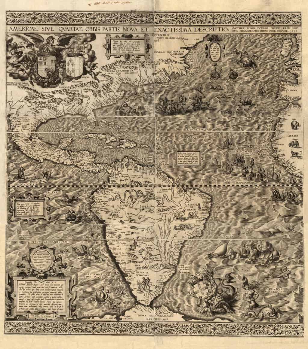
ZIP Code Data is “Commercially Sensitive” Per the US Postal Service
Robb Shecter of the Weblaws.org site wanted to map out restaurant health inspections in Multnomah County, Oregon as part of his ...

Automating Extracting GIS Data from Scanned Maps
The New York Public Library Labs (NYPL Labs) has posted on Github the code to its open source map-vectorizer project. NYPL ...

National Digital Stewardship Alliance Releases Report: “Issues in the Appraisal and Selection of Geospatial Data”
The National Digital Stewardship Alliance (NDSA) has published a report titled "Issues in the Appraisal and Selection of Geospatial Data" in PDF format.

Find Old GIS Software Programs
Take a walk down memory lane and find old GIS software programs hosted by the Internet Archive.

GOCE Gravity Mapping Mission Has Ended
GOCE, which stands The Gravity field and steady-state Ocean Circulation Explorer was launched with the purpose of mapping the Earth's gravity field at a high level of detail.
New Portal for Free SPOT Vegetation Satellite Data
There is a new distribution portal for accessing SPOT vegetation data. The Belgium site, VITO (Flemish Institute for Technological Research), ...
If Google and Facebook Were Empires: Age of Internet Map
If the most visited websites became the ruler of each country, what would a map of the world look like? ...

Map of Great Britain Created for Minecraft by the Ordnance Survey
The staff at Britain's Ordnance Survey have created a map of the United Kingdom for use in Minecraft.

Cartocacoethes
Cartocacoethes is a term meaning “a mania, uncontrollable urge, compulsion or itch to see maps everywhere.”
QGIS 2.0 Released
A new release of QGIS, the popular open source GIS software has officially been released. Each version receives a name ...

The Rise of GIS Terminology
When did the terms GIS, geographic information systems, and geospatial start showing up in books?

Map Projection Selection Tool
The Map Projection Selection Tool was developed to help cartographers pick the best map projection for making maps in a GIS software program.
Mapping the World Three Words at a Time
Instead of address and postal code, Chris Sheldrick has started a company that has divided the world into 57 trillion 3 meter ...
Make Maps in Excel with the New MAPCITE Version
MAPCITE has released a new version of its popular Excel spreadsheet mapping tool. The add-in allows users to visualize geographically ...

Should You Get a GIS Internship?
Those currently studying for a career in GIS should consider carefully how to start their GIS employment. One of the ...

Mapping Global Events Since 1979
The Global Database of Events, Language, and Tone (GDELT) scours international news sources to catalogue georeferenced events occuring around the world.

Study Guide for ArcGIS Desktop Certification
Esri Press has released a new publication that those seeking a study guide for Esri's Technical Certification can take advantage of.

Natural-color Shaded Relief Maps by Hal Shelton
Hal Shelton is a cartographer most notable for his natural-color maps done for Jeppeson Map Company in the 1950s and 1960s.

Pangaea
For hundreds of millions of years, all the land of Earth was joined together in one large mass or super ...

Add ArcGIS Online Maps to Your Wordpress Blog
A new plugin has just been released that gives those using Wordpress the ability to embed maps from ArcGIS Online ...
Assessing a School’s Economic Background Using GIS
I do pro bono GIS work from time to time, and a recent contribution was towards a local school that ...
Continental Drift Theory
Continental Drift Theory was put forward by the German scientist Alfred Wegner in 1915. According to the Continental Drift Theory, ...